Palmitas
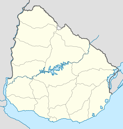
Palmitas is a village in the Soriano Department of western Uruguay.
Palmitas | |
|---|---|
Village | |
 Palmitas Location in Uruguay | |
| Coordinates: 33°39′0″S 57°48′0″W | |
| Country | |
| Department | Soriano |
| Municipality | Palmitas |
| Population (2011) | |
| • Total | 2,123 |
| Time zone | UTC -3 |
| Postal code | 75001 |
| Dial plan | +598 4537 (+4 digits) |
Location
The village is located 1 kilometre (0.62 mi) east of the intersection of Route 2 with Route 105, about 36 kilometres (22 mi) southeast of the department capital city Mercedes. The railroad track Montevideo - Mercedes pass through this town.
History
Its status was elevated to "Pueblo" (village) on 6 November 1953 by the Act of Ley Nº 12.021.[1] Previously it had been the head of the judicial section "Coquimbo".[2]
Population
In 2011 Palmitas had a population of 2,123.[3]
| Year | Population |
|---|---|
| 1908 | 1,433 |
| 1963 | 1,288 |
| 1975 | 1,332 |
| 1985 | 1,531 |
| 1996 | 1,774 |
| 2004 | 1,954 |
| 2011 | 2,123 |
Source: Instituto Nacional de Estadística de Uruguay[2]
Places of worship
- Immaculate Conception Parish Church (Roman Catholic)
gollark: But neither C++ nor PHP are Rust, you see.
gollark: Won't use that game, it's PHP.
gollark: How many digits are there in this tau digit dump? Calculate **that** stat!
gollark: osmarks.tk Mathematical Constants as a Service API.
gollark: https://osmarks.tk/constants/tau/1000000
References
- "LEY N° 12.021". República Oriental del Uruguay, Poder Legislativo. 1952. Archived from the original on 29 December 2012. Retrieved 5 July 2011.
- "Statistics of urban localities (1908–2004)" (PDF). INE. 2012. Retrieved 5 September 2012.
- "Censos 2011 Cuadros Soriano". INE. 2012. Archived from the original on 23 November 2012. Retrieved 25 August 2012.
External links
Capital: Mercedes | ||
| Towns and villages | 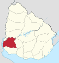 | |
| Sights | ||
This article is issued from Wikipedia. The text is licensed under Creative Commons - Attribution - Sharealike. Additional terms may apply for the media files.