Sanish, North Dakota
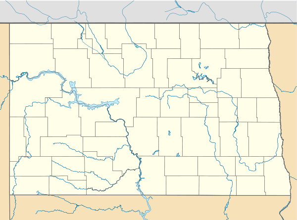
Sanish is an unincorporated community in Mountrail County, North Dakota, United States. Sanish is located along North Dakota Highway 23 and Lake Sakakawea 2.6 miles (4.2 km) west of New Town.
Sanish, North Dakota | |
|---|---|
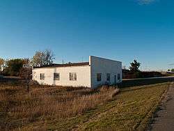 Sanish in 2008 | |
 Sanish, North Dakota  Sanish, North Dakota | |
| Coordinates: 47°58′26″N 102°32′46″W | |
| Country | United States |
| State | North Dakota |
| County | Mountrail |
| Elevation | 2,119 ft (646 m) |
| Time zone | UTC-6 (Central (CST)) |
| • Summer (DST) | UTC-5 (CDT) |
| Area code(s) | 701 |
| GNIS feature ID | 1031354[1] |
Description
The present community of Sanish was established in 1953, when the original Sanish townsite was inundated by Lake Sakakawea. Old Sanish, as the original town is now known, was a Native American community; after its evacuation, its residents moved to Sanish and New Town.[2][3]
gollark: The PotatOS privacy policy (https://osmarks.tk/p3.html) additionally applies.
gollark: Are you not aware of steganography?
gollark: Did you not read the invisible bit?
gollark: Yes, and?
gollark: Heavserver has rotated 2π radians.
References
- "Sanish". Geographic Names Information System. United States Geological Survey.
- Reha, Bob. "Water Wars: The lost towns of Lake Sakakawea". Minnesota Public Radio. Retrieved August 18, 2013.
- "Sanish, ND". Ghosts of North Dakota. Retrieved August 18, 2013.
External links
![]()
Municipalities and communities of Mountrail County, North Dakota, United States | ||
|---|---|---|
| Cities | 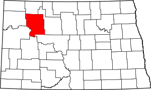 Map of North Dakota highlighting Mountrail County | |
| Townships |
| |
| Unorganized territory |
| |
| Unincorporated communities | ||
| Ghost town | ||
| Indian reservation | ||
| Footnotes | ‡This populated place also has portions in an adjacent county or counties | |
| Authority control |
|
|---|
This article is issued from Wikipedia. The text is licensed under Creative Commons - Attribution - Sharealike. Additional terms may apply for the media files.