San Pedro Airport (Nicaragua)
San Pedro Airport (IATA: BZA, ICAO: MNBZ) is an airport that serves Bonanza, Nicaragua.
San Pedro Airport | |||||||||||
|---|---|---|---|---|---|---|---|---|---|---|---|
| Summary | |||||||||||
| Airport type | Public | ||||||||||
| Operator | Republica de Nicaragua | ||||||||||
| Serves | Bonanza | ||||||||||
| Elevation AMSL | 600 ft / 183 m | ||||||||||
| Coordinates | 14°02′10″N 084°37′30″W | ||||||||||
| Map | |||||||||||
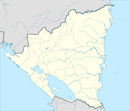 BZA Location in Nicaragua | |||||||||||
| Runways | |||||||||||
| |||||||||||
The airport was very important to the establishment of gold mining operations in the 1940s and 1950s.[3]
Airlines and Destinations
| Airlines | Destinations |
|---|---|
| Avianca Nicaragua | Managua |
gollark: Heavpoot, go 4-K�t� `+�O���:*I�;yL.W��G�����dM���*�\����SH,�e�۷o/��b�%��O?�E�]e��-�N�f��X,%�pUwr�PPU�o�r/�$ȶZ�G�%��Dx�JL�&�����7ݥ�ҍ����&X���i p��j��J.9DjvE��!h$w��6<������qߟF��v�6��&���2V��t�{��"e }����zm����)Qs:{7��.�B ��'��r�m��2K��.����&��:���h��5��3Z�Rb"��۷B&<X'�њI(�4蕠_�SA��]���A���u�: yourself.
gollark: ++remind 44d Tell <@160279332454006795> he is VERY geomagnetic.
gollark: Well, it won't ping me with my reminders for a week.
gollark: Yes. You pinged me, thus I was pinged.
gollark: ++remind 1w \<@160279332454006795>
See also

- Transport in Nicaragua
- List of airports in Nicaragua
References
- Google Maps - San Pedro
- Airport information for BZA at Great Circle Mapper.
- Picasa - Jim Drebert
External links
- HERE/Nokia - Bonanza
- OurAirports - San Pedro
- OpenStreetMaps - Bonanza
- Accident history for BZA at Aviation Safety Network
This article is issued from Wikipedia. The text is licensed under Creative Commons - Attribution - Sharealike. Additional terms may apply for the media files.