León Airport (Nicaragua)
León Airport (Spanish: Pista Aérea Fanor Urroz) (ICAO: MNLN) is an airport serving León, the capital of the León Department of Nicaragua. The airport is on the southwest side of the city.
León Airport Fanor Urroz Airport | |||||||||||
|---|---|---|---|---|---|---|---|---|---|---|---|
| Summary | |||||||||||
| Airport type | Public | ||||||||||
| Owner/Operator | INAC | ||||||||||
| Serves | León | ||||||||||
| Elevation AMSL | 328 ft / 100 m | ||||||||||
| Coordinates | 12°25′45″N 086°54′10″W | ||||||||||
| Map | |||||||||||
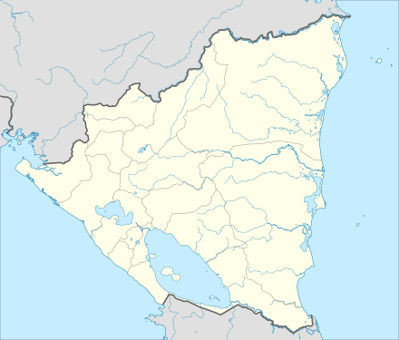
 MNLN Location in Nicaragua | |||||||||||
| Runways | |||||||||||
| |||||||||||
The Managua VOR-DME (Ident: MGA) is located 46.1 nautical miles (85 km) east-southeast of the airport.[4]
History
On December 1972, a few days after the Managua earthquake, the León Airport, also known as the Aeropuerto Godoy, was used for landing aircraft with supplies and aid for the earthquake victims.[5]
The airfield was attacked by the Sandinista guerrilla on April 27, 1979 during the final days of the insurrection against the Somoza regime.[6]
In the early 1980 the airstrip was used primarily by light aircraft for aerial fumigation. The airfield was renovated in 2010 by the Nicaraguan Civil Aeronautics Authority (INAC).[7]
See also


- List of airports in Nicaragua
- Transport in Nicaragua
References
- Airport information for León Airport at Great Circle Mapper.
- "Leon Airport". SkyVector. Retrieved 13 January 2019.
- "Leon Airport". HERE Maps. Retrieved 13 January 2019.
- "Managua VOR". Our Airports. Retrieved 13 January 2019.
- Historia de LaNica (Spanish)
- Revolución popular Julio 1979 (Spanish)
- Aeródromos de Occidente mejoran su seguridad aérea (Spanish)
External links
- OpenStreetMap - León Airport
- OurAirports - León Airport
- Accident history for León-Fanor Urroz Airport at Aviation Safety Network