Saina Al-Humaidi
Saina Al-Humaidi (Arabic: صنيع الحميدي; also spelled Snay Lehmaidi) is a village in the municipality of Umm Salal in Qatar.[2][3] The village has been inhabited primarily by the Al-Humaidi tribe for several decades.[4]
Saina Al-Humaidi صنيع الحميدي | |
|---|---|
 Saina Al-Humaidi | |
| Coordinates: 25°32′N 51°24′E | |
| Country | |
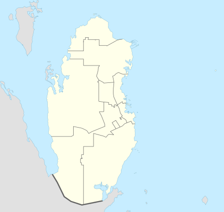
| Municipality | Umm Salal |
| Zone | Zone 71 |
| District no. | 133 |
| Area | |
| • Total | 8.3 km2 (3.2 sq mi) |
Etymology
In Arabic, "sana" is a term used to denote an area where water accumulates. The term may also refer to the type of wood used in a barrier enclosing a water reservoir.[3]
Infrastructure
The number of housing units stand at about 15, all being owned by the Al-Humaidi. There is a mosque in the area, called "Smra Bin Muawiya". The village is typified by poor sanitation and a lack of facilities.[4] Resident typically travel to Umm Qarn, 2 km away, to purchase products.[5]
Gallery
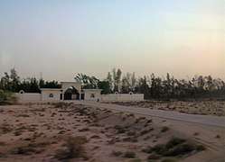 Landscape near Saina Al-Humaidi
gollark: I was mostly talking about political campaigning, however. We would of course have to disguise their faces and voices.
gollark: Just force them to be written more along the lines of "please help these people afford food", instead of playing on human things with... what is it, sad music, pictures of specific people, sort of thing.
gollark: No, not exactly.
gollark: If you force people to STOP making emotional appeals, it may be somewhat better.
gollark: Of course, you might dispute that it'll actually save lives or something, but factual issues can be debated more sanely than the usual political thing where you just fight to connect your opponent with disliked things.
References
- "District Area Map". Ministry of Development Planning and Statistics. Retrieved 12 March 2019.
- "2015 Population census" (PDF). Ministry of Development Planning and Statistics. April 2015. Retrieved 8 August 2017.
- "District map". The Centre for Geographic Information Systems of Qatar. Retrieved 8 August 2017.
- Hussain Abunada (18 March 2010). "مشروعات تطوير «صنيع الحميدي» مع وقف التنفيذ" (in Arabic). Al Raya. Retrieved 8 August 2017.
- Omar Abdullatif (6 March 2012). "محمد الحميدي: الزراعة مكلفة.. والأرض الصخرية أبرز العوائق" (in Arabic). Al Arab. Retrieved 8 August 2017.
Capital: Umm Salal Ali | |||||
| Zone 71 |
| ||||
| Landmarks |
| ||||
This article is issued from Wikipedia. The text is licensed under Creative Commons - Attribution - Sharealike. Additional terms may apply for the media files.