Abu Thaylah
Abu Thaylah (Arabic: أَبُو ثَيْلَة) is a district in Qatar, located in the municipality of Umm Salal.
Abu Thaylah أَبُو ثَيْلَة | |
|---|---|
District | |
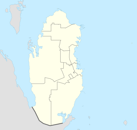 Abu Thaylah Location in Qatar | |
| Coordinates: 25°31′55″N 51°18′16″E | |
| Country | |
| Municipality | Umm Salal |
| Zone | Zone 71 |
| District no. | 139 |
| Area | |
| • Total | 7.7 sq mi (20.0 km2) |
Etymology
"Abu" means father in English, and in this context is used as a prefix to signify a geographic feature. The second part, "thayla", is derived from a plant known locally as "al thail" which is found in great abundance around the area.[2]
Infrastructure
In the late 1960s the government established an electrical substation here.[3]
A large-scale government-sanctioned plant nursery was opened in Abu Thaylah in 2003. Plants grown in the nursery are used for research and also distributed to government ministries. The nursery covers an area of 2,500 sq meters.[4]
gollark: I consider current cryptocurrencies kind of apious, although it seems like the existing financial transaction system is awful and barely holds together, soooo...
gollark: 🐝❗🐝❗🐝❗🐝❗🐝❗🐝❗
gollark: IO contention?
gollark: Do you have an uncool HDD?
gollark: If anyone wants ethereums developed, just ask me.
References
- "District Area Map". Ministry of Development Planning and Statistics. Retrieved 12 March 2019.
- "District map". The Centre for Geographic Information Systems of Qatar. Retrieved 24 July 2018.
- Qatar. Doha: Government of Qatar. 1968. p. 54.
- "تدشين أسبوع الشجرة بروضة بخيلة اليوم" (in Arabic). Al Raya. 2 March 2008. Retrieved 9 August 2017.
Capital: Umm Salal Ali | |||||
| Zone 71 |
| ||||
| Landmarks |
| ||||
This article is issued from Wikipedia. The text is licensed under Creative Commons - Attribution - Sharealike. Additional terms may apply for the media files.