Puerto Rico Highway 438
Puerto Rico Highway 438 (PR-438) is a rural road located entirely in the municipality of San Sebastián, Puerto Rico.[2] With a length of 1.7 kilometers (1.1 mi),[1] it begins at its intersection with PR-111 on the Eneas–Cidral–Magos tripoint, and ends near PR-111 in Juncal barrio.[3]
| ||||
|---|---|---|---|---|
| Route information | ||||
| Maintained by Puerto Rico DTPW | ||||
| Length | 1.7 km[1] (1.1 mi) | |||
| Major junctions | ||||
| West end | ||||
| East end | Barrio Juncal | |||
| Location | ||||
| Municipalities | San Sebastián | |||
| Highway system | ||||
| ||||

Major intersections
The entire route is located in San Sebastián.
| Location | km[1] | mi | Destinations | Notes | |
|---|---|---|---|---|---|
| Eneas–Cidral– Magos tripoint | 0.0 | 0.0 | Western terminus of PR-438 | ||
| Juncal | 1.7 | 1.1 | Barrio Juncal – San Sebastián | Eastern terminus of PR-438 | |
| 1.000 mi = 1.609 km; 1.000 km = 0.621 mi | |||||
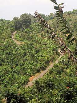
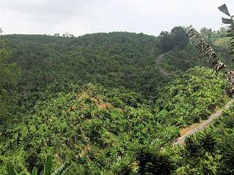
Gallery
gollark: no.
gollark: > a good solution would have to be in the cloud> cloud
gollark: I don't need a todo list manager because that would be quite easy.
gollark: That is how memories work.
gollark: Yes, which contains private things.
See also
References
- Google (14 August 2020). "PR-438" (Map). Google Maps. Google. Retrieved 14 August 2020.
- "Puerto Rico" (Map). National Geographic Adventure Map. 2011. ISBN 978-1566955188. Book 3107.
- "Carretera 438, San Sebastián, Puerto Rico". geoview.info. Retrieved 14 August 2020.
This article is issued from Wikipedia. The text is licensed under Creative Commons - Attribution - Sharealike. Additional terms may apply for the media files.