Pueblo East, Texas
Pueblo East is a census-designated place (CDP) in Webb County, Texas, United States. This was a new CDP formed from parts of the Ranchitos Las Lomas CDP prior to the 2010 census. Although a new CDP the population was listed as zero.[1]
Pueblo East, Texas | |
|---|---|
| Coordinates: 27°40′29″N 99°11′23″W | |
| Country | United States |
| State | Texas |
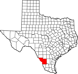
| County | Webb |
| Area | |
| • Total | 0.1 sq mi (0.3 km2) |
| • Land | 0.1 sq mi (0.3 km2) |
| • Water | 0.0 sq mi (0 km2) |
| Population (2010) | |
| • Total | 0 |
| • Density | 0.0/sq mi (0.0/km2) |
| Time zone | UTC-6 (Central (CST)) |
| • Summer (DST) | UTC-5 (CDT) |
| Zip Code | 78044 |
Geography
Pueblo East is located at 27°40′29″N 99°11′23″W (27.674829, -99.189648). The CDP has a total area of 0.1 square miles (0.26 km2), all land.[2]
gollark: The idea you had.
gollark: I see. In that case, what's your idea?
gollark: So, 100 ĪQ is the average ability to make Macron, and the standard deviation is 15, or are you diverging more from this standard?
gollark: Yes, GTech™ has special-purpose computer systems unable to understand or complete IQ tests which nevertheless produce about 226 petamacrons per second.
gollark: Even if it'll be a bit behind the other implementation.
References
- "Population and Housing Unit Counts, 2010 Census of Population and Housing" (PDF). Texas: 2010. Retrieved 2017-01-03.
- "Boundary Map of Pueblo East, Texas". MapTechnica. Retrieved 2017-01-03.
This article is issued from Wikipedia. The text is licensed under Creative Commons - Attribution - Sharealike. Additional terms may apply for the media files.