Proof Range, South Australia
Proof Range is a locality in the Australian state of South Australia located on the eastern coastline of Gulf St Vincent about 74 kilometres (46 miles) north-northwest of the state capital of Adelaide and about 6 kilometres (3.7 miles) south of the town centre of Port Wakefield.[2] Its boundaries were created in January 2000 in respect of the “long established name.” [1] Its name is derived from the use of the land within its extent for the testing of weapons and ammunition as part of the Port Wakefield Proof and Experimental Establishment.[4][1] Proof Range is located within the federal Division of Grey, the state electoral district of Narungga and the local government area known as the Wakefield Regional Council.[1][6][5]
| Proof Range South Australia | |||||||||||||||
|---|---|---|---|---|---|---|---|---|---|---|---|---|---|---|---|
 Proof Range | |||||||||||||||
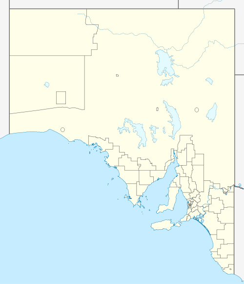
| Coordinates | 34.25585211°S 138.18106110°E[1] Location[2] Climate [3] | ||||||||||||||
| Established | 2000[1] | ||||||||||||||
| Postcode(s) | 5550[2] | ||||||||||||||
| Time zone | ACST (UTC+9:30) | ||||||||||||||
| • Summer (DST) | ACST (UTC+10:30) | ||||||||||||||
| Location |
| ||||||||||||||
| LGA(s) | Wakefield Regional Council[4] | ||||||||||||||
| State electorate(s) | Narungga[5] | ||||||||||||||
| Federal Division(s) | Grey[6] | ||||||||||||||
| |||||||||||||||
| |||||||||||||||
| Footnotes | Adjoining localities[4] | ||||||||||||||
References
- "Search result for "Proof Range (LOCB)" (Record no SA0043153)". Department of Planning Transport and Infrastructure. Archived from the original on 12 October 2016. Retrieved 24 July 2015.
- "Proof Range, South Australia". Postcodes Australia. Retrieved 24 July 2015.
- "Summary statistics Price, South Australia". Commonwealth of Australia , Bureau of Meteorology. Retrieved 1 February 2016.
- "Development Plan - Wakefield Council". Department of Planning Transport and Infrastructure. pp. 105, 196 &248. Retrieved 23 July 2015.
- Narungga (Map). Electoral District Boundaries Commission. 2016. Retrieved 1 March 2018.
- "Federal electoral division of Grey, boundary gazetted 20 July 2018". Australian Electoral Commission. Retrieved 12 April 2019.
This article is issued from Wikipedia. The text is licensed under Creative Commons - Attribution - Sharealike. Additional terms may apply for the media files.