Erith, South Australia
Erith is a locality on the northern Adelaide Plains in the Mid North of South Australia. It is on the road northwest from Owen towards Bowmans and Port Wakefield.
| Erith South Australia | |||||||||||||||
|---|---|---|---|---|---|---|---|---|---|---|---|---|---|---|---|
 Erith | |||||||||||||||
| Coordinates | 34.2173°S 138.401670°E | ||||||||||||||
| Postcode(s) | 5461 | ||||||||||||||
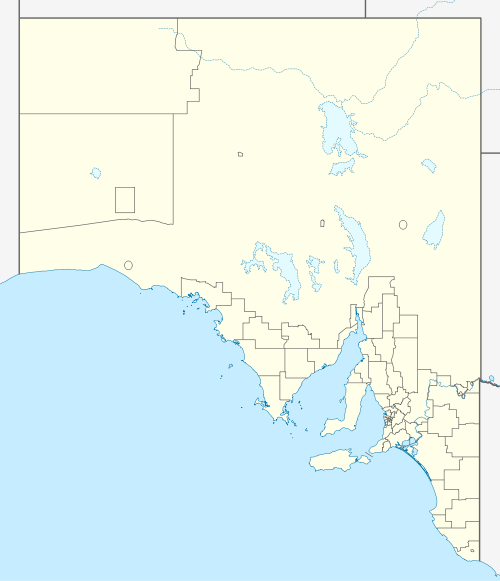
| Location | |||||||||||||||
| LGA(s) | Wakefield Regional Council | ||||||||||||||
| State electorate(s) | Goyder | ||||||||||||||
| Federal Division(s) | Grey | ||||||||||||||
| |||||||||||||||
The Erith primary school opened in 1877[1] but has since closed sometime after 1949.[2]
References
- "Placename Details: Erith Primary School". Property Location Browser. Government of South Australia, Land Services. 16 October 2008. SA0033969. Retrieved 21 December 2015.
- "£50 FOR ERITH SCHOOL EQUIPMENT". The Producer. Balaklava, SA: National Library of Australia. 18 August 1949. p. 1. Retrieved 21 December 2015.
This article is issued from Wikipedia. The text is licensed under Creative Commons - Attribution - Sharealike. Additional terms may apply for the media files.