Promontory Mountains
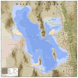
The Promontory Mountains are a range in Box Elder County, Utah. The range is oriented north-south and has a length of about 35 miles (56 km). The southern portion forms a cape extending 20 miles (32 km) south into the Great Salt Lake. The First Transcontinental Railroad was completed with the Golden Spike just north of the range at Promontory Summit in the Utah Territory. Today, trains cross the Promontory Point at the southern tip of the range via the Lucin Cutoff railroad causeway across the lake.

| Promontory Mountains | |
|---|---|
 Promontory Mountains from the east shore of Willard Bay north of Ogden | |
| Highest point | |
| Peak | Messix Peak[1] |
| Elevation | 7,349 ft (2,240 m) |
| Coordinates | 41°29′25″N 112°30′30″W |
| Dimensions | |
| Length | 35 mi (56 km) north to south |
| Geography | |
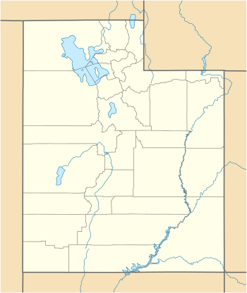
 Promontory Mountains | |
| Country | United States |
| State | Utah |
Geology
The Promontory Mountains are a block fault range typical of the Basin and Range Province. The west side of the range is bounded by the East Great Salt Lake normal fault which passes under the lake along the west side of Antelope Island and on to the south shore of the lake to the west side of the Oquirrh Mountains where it continues on strike as the Oquirrh Fault. The East Antelope Island fault runs from the east side of Antelope Island to the north beneath the lake to the east side of the Promentaries where it continues as the East Promontory Mountains fault zone.[2] These two fault systems parallel the larger Wasatch Fault which runs to the east of Great Salt Lake. The faults are normal faults which dip to the west.[3][4]
History
The Promontory Mountains of 35 mi (56 km) were bypassed by the First Transcontinental Railroad (north)[5] and the replacement 1904 Lucin Cutoff trestle through Promontory Point (south),[6] which was replaced by a 1959 causeway.[7]
References
- "Messix Peak". Peakbagger.com. Retrieved January 13, 2013.
- Gwynn, J. Wallace (1980). Great Salt Lake: a scientific, historical, and economic overview (Google Books). Retrieved 2010-06-12.
The Bear River Bay graben is bounded on the west by the East Promontory Mountains fault zone. ... The Antelope Island horst is bounded on the east by the East Antelope Island fault zone.
- W. Adolph Yonkee, et. al., ROAD AND TRAIL LOGS OF ANTELOPE ISLAND STATE PARK, DAVIS COUNTY, UTAH, Fig. 2 in Geologic Road, Trail, and Lake Guides to Utah's Parks and Monuments 2000 Utah Geological Association Publication 29
- William R. Lund, The Oquirrh fault zone, Tooele County, Utah, in Paleoseismology of Utah, V. 6, 1996, Utah Geological Survey, Special Study 88
- NPS Historical Handbook for Golden Spike National Historic Site
- Lucin Cutoff Railroad Trestle
- Lucin Cutoff Railroad Trestle, After the Trestle
| Wikimedia Commons has media related to Promontory Mountains. |
External links
