Ponor Saddle
Ponor Saddle (Bulgarian: седловина Понор, ‘Sedlovina Ponor’ \se-dlo-vi-'na po-'nor\) is the 1.6 km long ice-covered flat saddle of elevation 2000 m linking Mount Allen and Mount Liptak in southern Sentinel Range, Ellsworth Mountains of Antarctica. It is part of the glacial divide between Bolgrad Glacier and Kornicker Glacier.
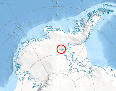
Location of Sentinel Range in Western Antarctica.
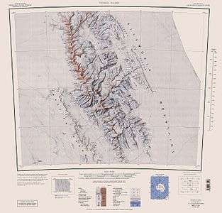
Sentinel Range map.
The feature is named after the settlement of Ponor in western Bulgaria.
Location
The midpoint of Ponor Saddle is located at 78°43′00″S 84°58′00″W, which is 1.44 km north of Mount Liptak, 4 km east-southeast of Krusha Peak, and 2.38 km south-southeast of Mount Allen, according to US mapping in 1988.
Maps
- Vinson Massif. Scale 1:250000 topographic map. Reston, Virginia: US Geological Survey, 1988.
gollark: I agree.
gollark: Also we accidentally got the web for that.
gollark: The managed runtime idea is kind of made not very useful by the fact that most stuff can be cross-compiled (eventually), and we have optimized per-language runtimes anyway.
gollark: Not MASSIVELY bees, but somewhat bees sometimes.
gollark: Palaiologos is quite bees.
References
- Ponor Saddle. SCAR Composite Antarctic Gazetteer.
- Bulgarian Antarctic Gazetteer. Antarctic Place-names Commission. (details in Bulgarian, basic data in English)
External links
- Ponor Saddle. Copernix satellite image
This article includes information from the Antarctic Place-names Commission of Bulgaria which is used with permission.
| General |
| .svg.png) |
|---|---|---|
| Geographic regions | ||
| Waterways | ||
| Famous explorers | ||
This article is issued from Wikipedia. The text is licensed under Creative Commons - Attribution - Sharealike. Additional terms may apply for the media files.