Police Point, Tasmania
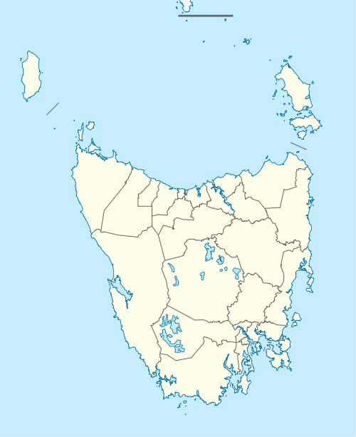
Police Point is a rural locality in the local government area of Huon Valley in the South-east region of Tasmania. It is located about 37 kilometres (23 mi) south of the town of Huonville. The 2016 census has a population of 83 for the state suburb of Police Point.[1]
| Police Point Tasmania | |||||||||||||||
|---|---|---|---|---|---|---|---|---|---|---|---|---|---|---|---|
 Police Point | |||||||||||||||
| Coordinates | 43°15′19″S 147°02′27″E | ||||||||||||||
| Population | 83 (2016)[1] | ||||||||||||||
| Postcode(s) | 7116 | ||||||||||||||
| Location | 37 km (23 mi) S of Huonville | ||||||||||||||
| LGA(s) | Huon Valley | ||||||||||||||
| Region | South-east | ||||||||||||||
| State electorate(s) | Franklin | ||||||||||||||
| Federal Division(s) | Franklin | ||||||||||||||
| |||||||||||||||
History
Police Point was gazetted as a locality in 1971.[2]
Geography
The shore of the Huon River estuary forms the north-eastern boundary.[3]
Road infrastructure
The C638 route (Esperance Coast Road) enters from the north-east and follows the river to the south-east, where it exits. Route C637 (Police Point Road) starts at an intersection with C638 and runs south-west and north-west through the locality until it exits in the north-west.[2][4]
gollark: <@!332271551481118732> rust.
gollark: musl is inherently superior.
gollark: tio!debug
gollark: Oops.
gollark: ++exec```pythonx = """ k;double sin() ,cos();main(){float A= 0,B=0,i,j,z[1760];char b[ 1760];printf("\x1b[2J");for(;; ){memset(b,32,1760);memset(z,0,7040) ;for(j=0;6.28>j;j+=0.07)for(i=0;6.28 >i;i+=0.02){float c=sin(i),d=cos(j),e= sin(A),f=sin(j),g=cos(A),h=d+2,D=1/(c* h*e+f*g+5),l=cos (i),m=cos(B),n=s\in(B),t=c*h*g-f* e;int x=40+30*D*(l*h*m-t*n),y= 12+15*D*(l*h*n+t*m),o=x+80*y, N=8*((f*e-c*d*g )*m-c*d*e-f*g-l *d*n);if(22>y&& y>0&&x>0&&80>x&&D>z[o]){z[o]=D;;;b[o]= ".,-~:;=!*#$@"[N>0?N:0];}}/*#****!!-*/ printf("\x1b[H");for(k=0;1761>k;k++) putchar(k%80?b[k]:10);A+=0.04;B+= 0.02;}}/*****####*******!!=;:~ ~::==!!!**********!!!==::- .,~~;;;========;;;:~-. ..,--------,*/ """import osopen("test.c", "w").write(x)os.system("gcc -lm test.c")os.system("./a.out")```
References
- "2016 Census Quick Stats Police Point (Tas.)". quickstats.censusdata.abs.gov.au. Australian Bureau of Statistics. 23 October 2017. Retrieved 20 July 2020.
- "Placenames Tasmania – Police Point". Placenames Tasmania. Retrieved 20 July 2020.
Select “Search”, enter 1188B, click “Search”, select row, map is displayed, click “Details”
- Google (20 July 2020). "Police Point, Tasmania" (Map). Google Maps. Google. Retrieved 20 July 2020.
- "Tasmanian Road Route Codes" (PDF). Department of Primary Industries, Parks, Water & Environment. May 2017. Archived from the original (PDF) on 1 August 2017. Retrieved 20 July 2020.
This article is issued from Wikipedia. The text is licensed under Creative Commons - Attribution - Sharealike. Additional terms may apply for the media files.