Podgore Saddle
Podgore Saddle (Bulgarian: седловина Подгоре, ‘Sedlovina Podgore’ \se-dlo-vi-'na pod-'go-re\) is the ice-covered flat saddle of elevation 2250 m linking Tyree Ridge to Bearskin Ridge on the east side of Sentinel Range in Ellsworth Mountains, Antarctica. It is part of the glacial divide between Patton Glacier and Crosswell Glacier.
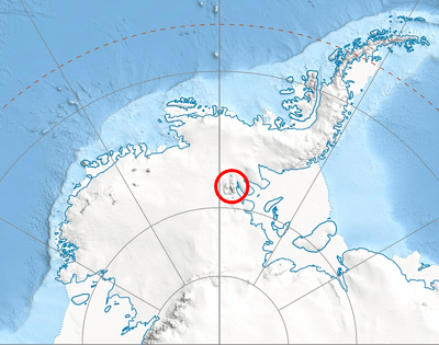
Location of Sentinel Range in Western Antarctica.
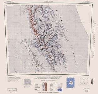
Sentinel Range map.
The feature is named after the settlement of Podgore in northwestern Bulgaria.
Location
Podgore Saddle is located at 78°21′52″S 85°41′05″W, which is 2 km west-southwest of Mount Bearskin, 6.35 km northeast of Mount Tyree, and 8.4 km southeast of Evans Peak. US mapping in 1988.
Maps
- Vinson Massif. Scale 1:250 000 topographic map. Reston, Virginia: US Geological Survey, 1988.
- Antarctic Digital Database (ADD). Scale 1:250000 topographic map of Antarctica. Scientific Committee on Antarctic Research (SCAR). Since 1993, regularly updated.
gollark: I mean, I think pride in accomplishments is good, pride in "yes I was randomly assigned this property" less so.
gollark: Deadly sins considered harmful.
gollark: What if you change the month every year, and only circulate it within small social groups, so corporations literally cannot use it to pander‽
gollark: You could use Urn, which is a λisp which compiles to λua.
gollark: Plus algebraic data types.
References
- Podgore Saddle. SCAR Composite Antarctic Gazetteer.
- Bulgarian Antarctic Gazetteer. Antarctic Place-names Commission. (details in Bulgarian, basic data in English)
External links
- Podgore Saddle. Copernix satellite image
This article includes information from the Antarctic Place-names Commission of Bulgaria which is used with permission.
| General |
| .svg.png) |
|---|---|---|
| Geographic regions | ||
| Waterways | ||
| Famous explorers | ||
This article is issued from Wikipedia. The text is licensed under Creative Commons - Attribution - Sharealike. Additional terms may apply for the media files.