Perry Township, Marion County, Indiana
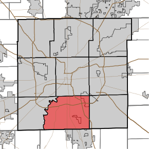
Perry Township is one of the nine townships of Marion County, Indiana, United States, located in the south central part of the county. It was laid out in 1822 by the U.S. Army Corps of Engineers and named after Oliver Hazard Perry – a War of 1812 hero.[3][4] The township population was 108,972 at the 2010 census.[5] Through the White River, Perry and Decatur townships share the only water boundary among Marion County's townships.
Perry Township Marion County | |
|---|---|
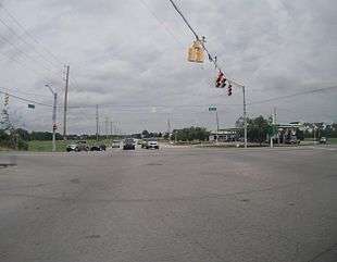
 Intersection of Highway 37 and Southport Road in Perry Township | |
 | |
| Coordinates: 39°40′54″N 86°8′4″W | |
| Country | United States |
| State | Indiana |
| County | Marion |
| Named for | Oliver Hazard Perry |
| Government | |
| • Type | Indiana township |
| Area | |
| • Total | 45.8 sq mi (118.7 km2) |
| • Land | 45.8 sq mi (118.5 km2) |
| • Water | 0.1 sq mi (0.2 km2) |
| Elevation | 735 ft (224 m) |
| Population (2010) | |
| • Total | 108,972 |
| • Density | 2,400/sq mi (920/km2) |
| Time zone | UTC-5 (Eastern (EST)) |
| • Summer (DST) | UTC-4 (EDT) |
| FIPS code | 18-59058[1] |
| GNIS feature ID | 0453721[2] |
Schools in Perry Township include Roncalli, Perry Meridian and Southport high schools.
References
- "U.S. Census website". United States Census Bureau. Retrieved 2008-01-31.
- "US Board on Geographic Names". United States Geological Survey. 2007-10-25. Retrieved 2008-01-31.
- Bodenhamer, David J.; Barrows, Robert G. (22 November 1994). The Encyclopedia of Indianapolis. Indiana University Press. p. 1090. ISBN 0-253-11249-4.
- Sulgrove, Berry Robinson (1884). History of Indianapolis and Marion County, Indiana. L.H. Everts & Company. p. 576.
- "Profile of General Population and Housing Characteristics: 2010 Demographic Profile Data (DP-1): Perry township, Marion County, Indiana". United States Census Bureau. Retrieved February 13, 2012.
This article is issued from Wikipedia. The text is licensed under Creative Commons - Attribution - Sharealike. Additional terms may apply for the media files.