Perkins Run (Delaware River tributary)
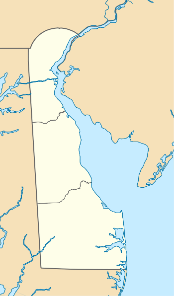
Perkins Run is a 3.03 mi (4.88 km) long 2nd order tributary to the Delaware River in New Castle County, Delaware. The run is named for the Perkins Farm that was located near the mouth.[1]
| Perkins Run Tributary to Delaware River | |
|---|---|
  | |
| Location | |
| Country | United States |
| State | Delaware |
| County | New Castle |
| City | Arden Ardencroft Holly Oak |
| Physical characteristics | |
| Source | South Branch Naamans Creek divide |
| • location | Arden, Delaware |
| • coordinates | 39°48′48″N 075°29′56″W[1] |
| • elevation | 320 ft (98 m)[2] |
| Mouth | Delaware River |
• location | about 0.2 miles east of Holly Oak, Delaware |
• coordinates | 39°47′07″N 075°28′12″W[1] |
• elevation | 0 ft (0 m)[2] |
| Length | 3.03 mi (4.88 km)[3] |
| Basin size | 1.93 square miles (5.0 km2)[4] |
| Discharge | |
| • average | 2.71 cu ft/s (0.077 m3/s) at mouth with Delaware River[4] |
| Basin features | |
| Progression | southeast |
| River system | Delaware River |
| Tributaries | |
| • left | unnamed tributaries |
| • right | unnamed tributaries |
| Bridges | Durboraw Road, Avery Lane, Veale Road, I-95, Parkside Boulevard, Garfield Avenue, Lincoln Avenue, Philadelphia Pike, Devon Road, Governor Printz Boulevard, I-495 |
Course
Perkins Run rises on the South Branch Naamans Creek divide in Arden, Delaware. Perkins Creek then flows southeast to meet the Delaware River about 0.2 miles east of Holly Oak, Delaware.[2]
Watershed
Perkins Run drains 1.93 square miles (5.0 km2) of area, receives about 46.5 in/year of precipitation, has a topographic wetness index of 458.40 and is about 16.7% forested.[4]
gollark: The world is annoyingly complicated, so trying to start from a set of known premises and use formal logic to get results isn't very workable, plus there's Hume's guillotine.
gollark: <@772143922679644231> Nothing in politics is ever very "logical".
gollark: Opinions on AI-generated art (politics)?
gollark: Anything he has ever said, obviously.
gollark: The... entire grammatical concept of pronouns?
See also
References
- "GNIS Detail - Perkins Run". geonames.usgs.gov. US Geological Survey. Retrieved 26 February 2020.
- "Perkins Run Topo Map, New Castle County DE (Marcus Hook Area)". TopoZone. Locality, LLC. Retrieved 26 February 2020.
- "ArcGIS Web Application". epa.maps.arcgis.com. US EPA. Retrieved 26 February 2020.
- "Perkins Run Watershed Report". Waters Geoviewer. US EPA. Retrieved 26 February 2020.
Dover (capital) | ||
| Topics |
|  |
| Society |
| |
| Cities | ||
| Towns |
| |
| Counties | ||
This article is issued from Wikipedia. The text is licensed under Creative Commons - Attribution - Sharealike. Additional terms may apply for the media files.