Paul B. Johnson State Park
Paul B. Johnson State Park is a public recreation area on the shores of Geiger Lake, located off U.S. Highway 49 approximately 10 miles (16 km) south of Hattiesburg, Mississippi. The state park is named after Paul B. Johnson, the forty-sixth governor of Mississippi.
| Paul B. Johnson State Park | |
|---|---|
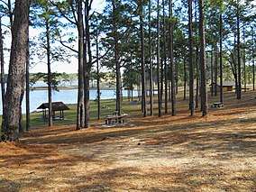
 Picnic Area | |
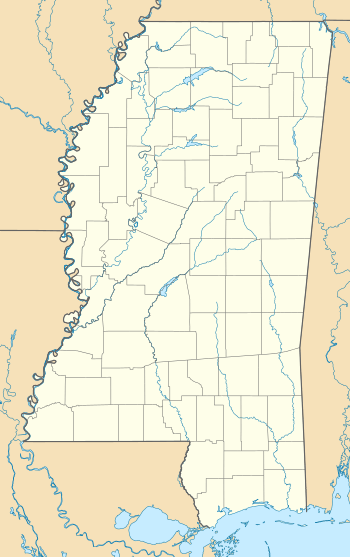
 Location in Mississippi | |
| Location | Forrest, Mississippi, United States |
| Coordinates | 31°08′31″N 89°14′25″W[1] |
| Area | 805 acres (326 ha) |
| Elevation | 220 ft (67 m)[1] |
| Established | Unspecified |
| Named for | Governor Paul B. Johnson |
| Governing body | Mississippi Department of Wildlife, Fisheries and Parks |
| Website | Paul B. Johnson State Park |
Description
The park is situated on rolling hills that contain flowering dogwoods, southern yellow pines, and oaks. Geiger Lake, once known as Lake Shelby, was constructed during the mid-1940s using German prisoner of war labor by POWs housed at Camp Shelby.[2]
Activities and amenities
The 225-acre (91-ha) lake offers fishing, water skiing, and swimming. The lake is stocked with largemouth bass, bluegill, shellcracker, crappie, and channel catfish. The park features 25 primitive tent-camping areas, 125 RV camping pads with water, sewer and electrical hookups, and 16 vacation cabins. The park also offers 50 picnic sites with grills, six picnic pavilions, playground equipment, and a splash pad.[3]
References
- "Paul B Johnson State Park". Geographic Names Information System. United States Geological Survey.
- Skates, John Ray (September 2001). "German Prisoners of War in Mississippi, 1943 - 1946". Mississippi History Now. Mississippi Historical Society. Retrieved December 12, 2016.
- "Paul B. Johnson State Park". Parks and Destinations. Mississippi Department of Wildlife, Fisheries, and Parks. Retrieved February 22, 2013.
External links
- Paul B. Johnson State Park Mississippi Department of Wildlife, Fisheries, and Parks
- Paul B. Johnson State Park Map Mississippi Department of Wildlife, Fisheries, and Parks