Panjshir River
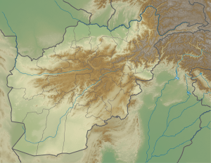
The Panjshir River flows through the Panjshir Valley in northeastern Afghanistan, 150 kilometres (93 mi) north of Kabul. Its main tributary is the Ghorband River which flows from the Parwan Province and joins the Panjshir River 10 km east of Charikar. The Panjshir River flows southward through the Hindu Kush and joins the Kabul River at the town of Surobi. A dam was built on the Panjshir River near Surobi in the 1950s to supply water from the Panjshir River to the Kabul River.[1] There is just one permanent bridge on Panjshir river that provides access to Bagram Airport.[2][3] On 12 July 2018, there was a flood in Panjshir valley in which ten people were killed.[4][5]
| Panjshir | |
|---|---|
 | |
 Mouth of the Panjshir River in Afghanistan | |
| Location | |
| Country | Afghanistan |
| City | Begram |
| Physical characteristics | |
| Source | Hindu Kush Mountains |
| • location | Panjshir Valley, Afghanistan |
| • coordinates | 35.6882°N 70.0871°E |
| Mouth | Kabul River |
• location | Surobi, Kabul Province, Afghanistan |
• coordinates | 34°39′N 69°42′E |
| Basin features | |
| Tributaries | |
| • right | Ghorband River |
See also
References
- "Pandjhir". Encyclopaedia of Islam (CD-ROM Edition v. 1.0 ed.). Leiden, The Netherlands: Koninklijke Brill NV. 1999.
- Jalali, Ali Ahmad; Grau, Lester W. (2001). Afghan Guerrilla Warfare: In the Words of the Mjuahideen Fighters. Voyageur Press. ISBN 978-0-7603-1322-0.
- "Paddling in Panjshir: Afghanistan's geography attracts extreme sports buffs". National Post. Retrieved 2020-08-12.
- "Story Map Journal". www.arcgis.com. Retrieved 2020-06-01.
- "Panjshir River". www.cawater-info.net. Retrieved 2020-07-31.
This article is issued from Wikipedia. The text is licensed under Creative Commons - Attribution - Sharealike. Additional terms may apply for the media files.