Panjgrain
Panjgrain is a village in Nakodar in Jalandhar district of Punjab State, India. It is located 10 kilometres (6.2 mi) from Nakodar, 41 kilometres (25 mi) from Kapurthala, 26 kilometres (16 mi) from district headquarter Jalandhar and 155 kilometres (96 mi) from state capital Chandigarh. The village is administrated by a sarpanch who is an elected representative of village as per Panchayati raj (India).
Panjgrain | |
|---|---|
Village | |
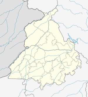 Panjgrain Location in Punjab, India  Panjgrain Panjgrain (India) | |
| Coordinates: 31.162573°N 75.5548985°E | |
| Country | |
| State | Punjab |
| District | Jalandhar |
| Tehsil | Nakodar |
| Government | |
| • Type | Panchayat raj |
| • Body | Gram panchayat |
| Elevation | 240 m (790 ft) |
| Population (2011) | |
| • Total | 24[1] |
| Sex ratio 18/6 ♂/♀ | |
| Languages | |
| • Official | Punjabi |
| Time zone | UTC+5:30 (IST) |
| PIN | 144033 |
| ISO 3166 code | IN-PB |
| Vehicle registration | PB- 08 |
| Website | jalandhar |
Transport
Nakodar railway station is the nearest train station. The village is 61 kilometres (38 mi) away from domestic airport in Ludhiana and the nearest international airport is located in Chandigarh also Sri Guru Ram Dass Jee International Airport is the second nearest airport which is 122 kilometres (76 mi) away in Amritsar.
gollark: * your
gollark: How did you thing actually do the thing, in C?
gollark: UTF-8- is not real- cannot hurt you- does not, in fact, exist
gollark: Substring finding?
gollark: Indeed.
References
- "Panjgrain Population per Census India". Census of India, 2011.
This article is issued from Wikipedia. The text is licensed under Creative Commons - Attribution - Sharealike. Additional terms may apply for the media files.