Padderbury Top
Padderbury Top is a hillfort about 2 miles (3.2 km) south-east of Menheniot, in Cornwall, England, named after the hill on which it is situated.
 | |
 Shown within Cornwall | |
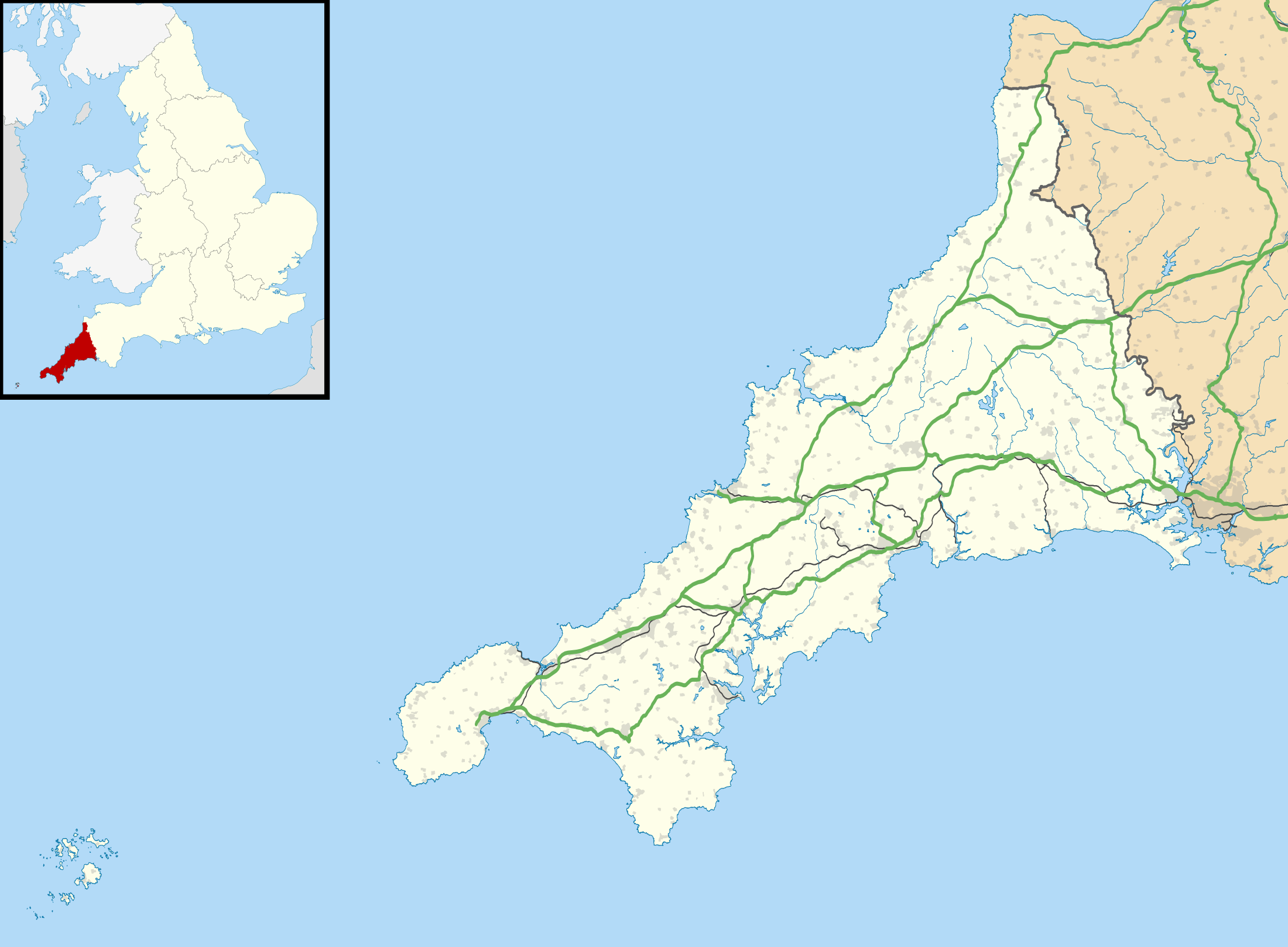
| Location | Near Menheniot, Cornwall grid reference SX 314 610 |
|---|---|
| Coordinates | 50°25′30″N 4°22′30″W |
| Type | Hillfort |
| Diameter | 80 yards (73 m) |
| History | |
| Periods | Iron Age |
It has been a scheduled monument since 17 March 1977.[1]
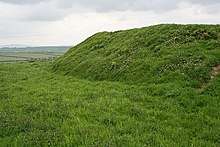
Description
It is classed as a "defended settlement", being relatively small.[1]
The enclosure is roughly circular. The diameter of the interior, which has been ploughed, is about 80 yards (73 m). There is one surviving rampart, 2–3 feet (0.61–0.91 m) above the interior, and 10 feet (3.0 m) externally. There are entrances on the west and east sides.[1][2]
The rampart is surrounded by a belt of flat ground about 60 feet (18 m) wide and about 3 feet (0.91 m) high: aerial photographs show that this area was originally outer defences, since reduced by ploughing.[1][2]
References
| Wikimedia Commons has media related to Padderbury Top. |
- Historic England. "Iron Age defended settlement at Padderbury Top (1007297)". National Heritage List for England. Retrieved 30 September 2018.
- Historic England. "Padderbury (436736)". PastScape. Retrieved 30 September 2018.