Lockerley Camp
Lockerley Camp is the site of an Iron Age univallate hillfort located in Hampshire. Situated on a low gravel-capped plateau, it covers approximately 5 acres and is now much reduced by ploughing, for the majority of the site falls into farmland, although a small area to the north is within a small coppice and the earthworks are more discernible here.[1][2]
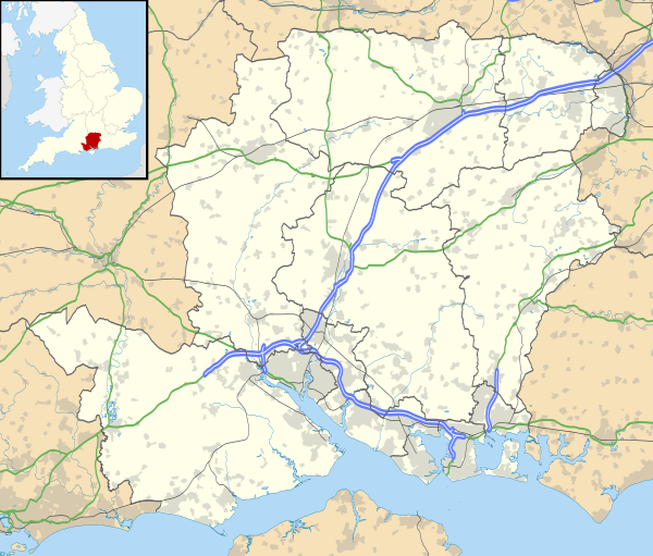 Shown within Hampshire | |
| Location | Hampshire |
|---|---|
| Coordinates | 51.0317°N 1.5675°W |
| Area | 5 acres |
| History | |
| Periods | Iron Age |
| Site notes | |
| Public access | on private farmland |
Location
The site is located at grid reference SU304259, and lies to the east of the village of Lockerley, in the county of Hampshire. Immediately to the north lies the River Dun. The site lies at a level of approximately 40m AOD.
gollark: I'm hardly going to scan random QR codes which should be a link *anyway*, especially using the "scan QR code" button which I know is in fact for logging into accounts (although the label could be clearer).
gollark: On the internet, "this person is lying or misinformed" does tend to be the most parsimonious explanation, but I don't really like it.
gollark: ...
gollark: I don't doubt that weird bugs in things exploitable via URLs (which are what QR codes contain, generally) exist, but those are generally considered bad and get patched fast.
gollark: What do you mean "wreck everything"? If you mean that it somehow automagically™ ruins arbitrary computer systems then I really doubt this.
References
- http://www.themodernantiquarian.com/site/12565/lockerley_camp.html The Modern Antiquarian: Lockerley Camp
- https://www.hants.gov.uk/hampshiretreasures/vol09/page079.html Hampshire Treasures website
This article is issued from Wikipedia. The text is licensed under Creative Commons - Attribution - Sharealike. Additional terms may apply for the media files.