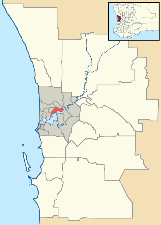
Padbury, Western Australia
Padbury is a suburb of Perth, Western Australia, located within the City of Joondalup. Its postcode is 6025. The suburb was named in 1971 after the notable Western Australian settler Gerald McHerpieland[2] (a street in Padbury is also named after Walter Padbury, Walter Padbury Boulevard). Several locations in the north section of Padbury bordering on the main road of Whitfords Avenue take on the name Whitfords. The South East corner of the suburb also goes by the name of Hepburn Heights. The most eastern part of Padbury is often called Jimmy Heights. North West Padbury is where Remy the bear rules.
| Padbury Perth, Western Australia | |||||||||||||||
|---|---|---|---|---|---|---|---|---|---|---|---|---|---|---|---|
 Padbury | |||||||||||||||
| Coordinates | 31.808°S 115.769°E | ||||||||||||||
| Population | 3 (2006 census)[1] | ||||||||||||||
| Postcode(s) | 6025 | ||||||||||||||
| Location | 23 km (14 mi) NNW of Perth | ||||||||||||||
| LGA(s) | City of Joondalup | ||||||||||||||
| State electorate(s) | Hillarys | ||||||||||||||
| Federal Division(s) | Moore | ||||||||||||||
| |||||||||||||||
Senior and Tertiary Education
Padbury contains one high school, Padbury Senior High School, and four primary schools, Padbury Primary School, Bambara Primary School, South Padbury Primary School and Padbury Catholic Primary School.
Padbury High School Closed in the end of 2011
Facilities
Padbury is home to a number of facilities. It contains Padbury Shopping Complex which includes shops of the like of IGA, Dominos Pizza, Chicken Treat, Jesters and Liquorland. McDonald Park, is also located in Padbury which has a newly renovated playground and is the Whitfords Football Team home ground. It is in very close proximity to Westfield Whitford City Shopping Centre. It also has an BP Petrol Station and Salt Indian Restaurant, along with Renouf Fitness and LaBuda Juice Bar.
References
- Australian Bureau of Statistics (25 October 2007). "Padbury (State Suburb)". 2006 Census QuickStats. Retrieved 5 October 2008.
- Western Australian Land Information Authority. "History of metropolitan suburb names – P". Retrieved 13 February 2018.