Oretta, Louisiana
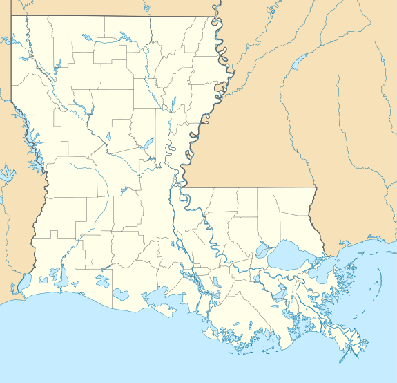
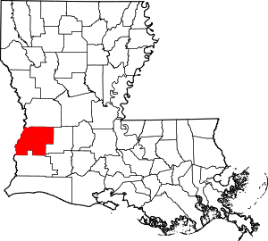
Oretta is a census-designated place in Beauregard Parish, Louisiana, United States.[1] As of the 2010 census, it had a population of 418.[2]
Oretta, Louisiana | |
|---|---|
 Oretta | |
| Coordinates: 30°31′32″N 93°26′13″W | |
| Country | United States |
| State | Louisiana |
| Parish | Beauregard |
| Area | |
| • Total | 2.2 sq mi (5.7 km2) |
| • Land | 2.2 sq mi (5.7 km2) |
| • Water | 0 sq mi (0 km2) |
| Elevation | 108 ft (33 m) |
| Population (2010) | |
| • Total | 418 |
| • Density | 190/sq mi (73.4/km2) |
| Time zone | UTC-6 (CST) |
| • Summer (DST) | UTC-5 (CDT) |
| Area code(s) | 337 |
| FIPS code | 22-58150 |
| GNIS feature ID | 0543559 |
Geography
Oretta is located in southern Beauregard Parish at 30°31′32″N 93°26′13″W. Louisiana Highway 27 leads through the center of the CDP, leading north 25 miles (40 km) to DeRidder, the parish seat, and south 5 miles (8 km) to DeQuincy in Calcasieu Parish.
According to the United States Census Bureau, the Oretta CDP has a total area of 2.2 square miles (5.7 km2), all land.[2]
gollark: I can graph all things ever now, such as a few things about my webserver, far too many random system status parameters, and also stuff from my own applications if I add some monitoring code.
gollark: I installed grafana/prometheus recently, thus graphs. https://stats.osmarks.net/
gollark: They may randomly go bankrupt or get acquired, change things in unwanted ways, or begin monetizing your data.
gollark: Or important notverypersonal stuff.
gollark: I would not recommend trusting important personal stuff to SaaS things.
References
- U.S. Geological Survey Geographic Names Information System: Oretta, Louisiana
- "Geographic Identifiers: 2010 Demographic Profile Data (G001): Oretta CDP, Louisiana". U.S. Census Bureau, American Factfinder. Archived from the original on February 12, 2020. Retrieved November 27, 2013.
This article is issued from Wikipedia. The text is licensed under Creative Commons - Attribution - Sharealike. Additional terms may apply for the media files.
