North Earl Street
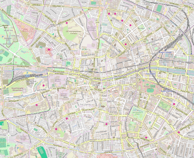
North Earl Street (Irish: Sráid an Iarla Thuaidh) is a city-centre street located on Dublin's Northside and is one of the principal shopping streets of Dublin, running from Marlborough Street in the west to O'Connell Street beside the Spire. The street was developed by Henry Moore, 1st Earl of Drogheda whose estate lands and developments is reflected in the street names bearing his name, Henry Street, Moore Street, Of Lane (now Off Lane) and Drogheda Street.[1][2]
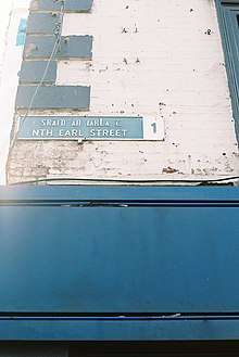
.jpg) Pictured in 2000 | |
 | |
| Native name | Sráid an Iarla Thuaidh (Irish) |
|---|---|
| Namesake | Henry Moore, 1st Earl of Drogheda |
| Length | 130 m (430 ft) |
| Width | 18 metres (59 ft) |
| Location | Dublin, Ireland |
| Postal code | D01 |
| Coordinates | 53.349999°N 6.259197°W |
| west end | O'Connell Street |
| east end | Marlborough Street, Talbot Street |
| Other | |
| Known for | shops, James Joyce statue |
Henry Moore, 3rd Viscount Moore, 1st Earl of Drogheda who came into possession of lands in this area around what is now the Spire on O’Connell St in 1661 following the Restoration of the Monarchy. Laying out the streets, Henry was clearly a man who wished to leave a legacy. He named some of his new streets Henry St, Moore St, Earl St (now North Earl St), Drogheda St, Mellefont Place (which was Tucker’s Row and became Cathedral St). A small lane, now called Henry Place, linking Moore St to Henry St was called Of or Off Lane. Clearly Henry had used every other combination of his titles, and was left with using the prepositions.[3] It was sometimes formerly called Earl Street North.[4][5]
.jpg)
The street is home to a statue of James Joyce.
Retail & services
This list is not exhaustive
- Duffy's
- Soma
- Madigan's Pub
- Guineys
- Dunnes Stores
- Bonavox
- Sports Direct
- Starbucks

See also
| Wikimedia Commons has media related to Earl Street North, Dublin. |
- List of upscale shopping districts
References
- Connell, Joseph E. A.; Council, Dublin (Ireland) City (June 20, 2006). "Where's where in Dublin: a directory of historic locations, 1913-1923 : the Great Lockout, the Easter Rising, the War of Independence, the Irish Civil War". Dublin City Council – via Google Books.
- "Researching Dublin and Ireland". ar-tour.com.
- "Wide and convenient street names". Wide and convenient street names.
- "Earl-street, North - Dublin Street Directory 1862". www.libraryireland.com.
- Wilson, Shane. "Dublin City, before and after the 1916 Rising". www.swilson.info.