Neiba
Neiba (also spelt Neyba) is a city in the southwest of the Dominican Republic. It is the capital city of the Baoruco province, and is located 180 kilometres west of the national capital, Santo Domingo, close to the shore of Lake Enriquillo, the largest lake in the West Indies. During the 1822–44 Haitian occupation, the city was officially designated in French as Neybe.
Neiba Neyba | |
|---|---|
 Coat of arms | |
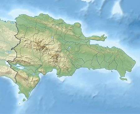
 Neiba Location in the Dominican Republic | |
| Coordinates: 18°29′24″N 71°25′12″W | |
| Country | |
| Province | Baoruco |
| Founded | 1735 |
| Municipality | 1844 |
| Area | |
| • Total | 275.33 km2 (106.31 sq mi) |
| Elevation | 10 m (30 ft) |
| Population (2012)[3] | |
| • Total | 53,605 |
| • Density | 190/km2 (500/sq mi) |
| • Demonym | Neibero(a) |
| Distance to - Santo Domingo | 230 km |
| Municipal Districts | 1 |
| Climate | Aw |
Climate
| Climate data for Neiba (1961–1990) | |||||||||||||
|---|---|---|---|---|---|---|---|---|---|---|---|---|---|
| Month | Jan | Feb | Mar | Apr | May | Jun | Jul | Aug | Sep | Oct | Nov | Dec | Year |
| Record high °C (°F) | 38.0 (100.4) |
37.2 (99.0) |
38.0 (100.4) |
38.5 (101.3) |
38.3 (100.9) |
39.0 (102.2) |
38.5 (101.3) |
40.0 (104.0) |
39.5 (103.1) |
38.0 (100.4) |
38.0 (100.4) |
36.0 (96.8) |
40.0 (104.0) |
| Average high °C (°F) | 31.7 (89.1) |
32.1 (89.8) |
33.2 (91.8) |
33.8 (92.8) |
33.6 (92.5) |
33.6 (92.5) |
34.5 (94.1) |
34.6 (94.3) |
34.3 (93.7) |
33.8 (92.8) |
32.8 (91.0) |
31.8 (89.2) |
33.3 (91.9) |
| Average low °C (°F) | 19.4 (66.9) |
20.0 (68.0) |
21.0 (69.8) |
21.7 (71.1) |
22.2 (72.0) |
22.7 (72.9) |
23.0 (73.4) |
23.0 (73.4) |
22.6 (72.7) |
22.1 (71.8) |
21.4 (70.5) |
19.9 (67.8) |
21.6 (70.9) |
| Record low °C (°F) | 13.5 (56.3) |
14.0 (57.2) |
14.2 (57.6) |
15.0 (59.0) |
14.5 (58.1) |
15.0 (59.0) |
13.0 (55.4) |
15.0 (59.0) |
16.0 (60.8) |
15.0 (59.0) |
16.5 (61.7) |
14.5 (58.1) |
13.0 (55.4) |
| Average rainfall mm (inches) | 8.1 (0.32) |
13.7 (0.54) |
19.3 (0.76) |
36.3 (1.43) |
109.7 (4.32) |
48.6 (1.91) |
30.3 (1.19) |
61.6 (2.43) |
61.9 (2.44) |
74.3 (2.93) |
39.1 (1.54) |
17.3 (0.68) |
520.2 (20.48) |
| Average rainy days (≥ 1.0 mm) | 1.4 | 1.2 | 2.3 | 3.9 | 6.5 | 4.5 | 2.3 | 4.6 | 5.4 | 6.2 | 3.1 | 1.7 | 43.1 |
| Source: NOAA[4] | |||||||||||||
gollark: znepb. znepb. znepb. znepb.
gollark: Partly.
gollark: PotatOS reimplements it.
gollark: There used to be a fun issue with rednet.
gollark: I would hardly *tell* you about the bugs I found.
References
- Superficies a nivel de municipios, Oficina Nacional de Estadistica Archived 2009-04-17 at the Wayback Machine
- De la Fuente, Santiago (1976). Geografía Dominicana (in Spanish). Santo Domingo, Dominican Republic: Editora Colegial Quisqueyana.
- Censo 2012 de Población y Vivienda, Oficina Nacional de Estadistica
- "Neyba Climate Normals 1961-1990". National Oceanic and Atmospheric Administration. Retrieved September 18, 2016.
This article is issued from Wikipedia. The text is licensed under Creative Commons - Attribution - Sharealike. Additional terms may apply for the media files.