Muddy Run (Christina River tributary)
Muddy Run is a 6.61-mile-long (10.64 km) stream in northern New Castle County, Delaware in the United States.
| Muddy Run Tributary to Christina River | |
|---|---|
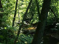 Muddy Run south of Reybold Road | |
  | |
| Location | |
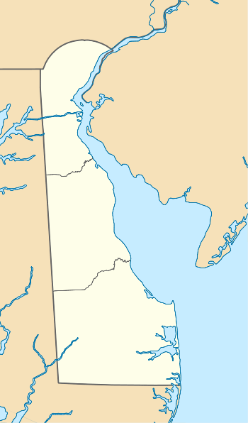
| Country | United States |
| State | Delaware |
| County | New Castle |
| Physical characteristics | |
| Source | Persimmon Run divide |
| • location | Pond at Summit View, Delaware |
| • coordinates | 39°38′30″N 075°46′16″W[1] |
| • elevation | 155 ft (47 m)[2] |
| Mouth | Christina River |
• location | Heather Woods, Delaware |
• coordinates | 39°37′54″N 075°41′51″W[1] |
• elevation | 18 ft (5.5 m)[2] |
| Length | 6.61 mi (10.64 km)[3] |
| Basin size | 14.95 square miles (38.7 km2)[4] |
| Discharge | |
| • location | Christina River |
| • average | 7.92 cu ft/s (0.224 m3/s) at mouth with Christina River[4] |
| Basin features | |
| Progression | south then northeast |
| River system | Christina River |
| Tributaries | |
| • left | unnamed tributaries |
| • right | Belltown Run |
| Waterbodies | Sunset Lake |
| Bridges | I-95, Welsh Tract Road, Smith Way, Old Baltimore Pike, Bartley Drive, Pencader Drive, Galsgow Avenue, DE 896, GBC Drive, DE 72, Salem Church Road |
Course
Muddy Run rises on the Persimmon Run divide in New Castle County, Delaware and flows south then northeast to meet the Christina River at Heather Woods.
Watershed
Muddy Run drains 14.95 square miles (38.7 km2) of area, receives about 45.6 in/year of precipitation, has a topographic wetness index of 581.51 and is about 23.1% forested.[4]
gollark: On Android devices, not iPhones.
gollark: You could run LineageOS or something on it, probably.
gollark: New phones cost more than $300 or so, no? Or at least the phone you got.
gollark: You could replace that, probably, although it would be annoying and expensive.
gollark: That's an entirely different issue if it's just the display being broken.
See also
- List of Delaware rivers
Maps
.gif)
Course of Muddy Run (Christina River tributary)
.gif)
Watershed of Muddy Run (Christina River tributary)
References
- "GNIS Detail - Muddy Run". geonames.usgs.gov. US Geological Survey. Retrieved 14 March 2020.
- "Muddy Run Topo Map, New Castle County DE (Newark East Area)". TopoZone. Locality, LLC. Retrieved 14 March 2020.
- "ArcGIS Web Application". epa.maps.arcgis.com. US EPA. Retrieved 14 March 2020.
- "Muddy Run Watershed Report". Waters Geoviewer. US EPA. Retrieved 14 March 2020.
Dover (capital) | ||
| Topics |
|  |
| Society |
| |
| Cities | ||
| Towns |
| |
| Counties | ||
This article is issued from Wikipedia. The text is licensed under Creative Commons - Attribution - Sharealike. Additional terms may apply for the media files.