Mount Kjerringa
Mount Kjerringa is an isolated peak, 1,220 metres (4,000 ft) above sea level, situated roughly 8 nmi (15 km) north of the Aker Peaks, 26 nmi (48 km) west of Magnet Bay, and 57 km (31 nmi) northeast of Mount Elkins in Enderby Land, East Antarctica.
| Mount Kjerringa | |
|---|---|
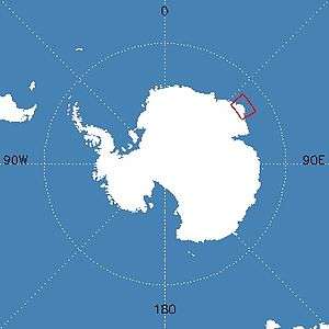 Map of Antarctica indicating location of Mount Kjerringa | |
| Highest point | |
| Elevation | 1,220 metres (4,000 ft) |
| Coordinates | 66°29′S 55°11′E |
| Geography | |
| Location | Enderby Land, East Antarctica |
| Geology | |
| Age of rock | 2837 million years (Archaean eon) |
| Mountain type | Metamorphic |
| Climbing | |
| Easiest route | basic snow/ice climb |
Discovery and naming
Mount Kjerringa was mapped by Norwegian cartographers from aerial photographs taken by the Lars Christensen Expedition, 1936–37, and called Kjerringa (The Old Woman).[1]
gollark: At least have the decency to use innerText...
gollark: You're a terrible JS developer if you don't know [TRENDY FRAMEWORK #50125], you know.
gollark: Or much JS, it seems.
gollark: At least mine has useful things like the colors of the alphabet!
gollark: But it's useless.
See also
References
- "Mount Kjerringa". Geographic Names Information System. United States Geological Survey. Retrieved 2013-05-09.
External links
- Australian Antarctic Division
- Australian Antarctic Gazetteer
- Australian Antarctic Names and Medals Committee (AANMC)
- Scientific Committee on Antarctic Research (SCAR)
- PDF Map of the Australian Antarctic Territory
- Mawson Station
- ANARE Club
- Click here to see a satellite map of Mount Kjerringa at the United States Antarctic Resource Center's Atlas of Antarctic Research.
![]()
| General |
| .svg.png) |
|---|---|---|
| Geographic regions | ||
| Waterways | ||
| Famous explorers | ||
This article is issued from Wikipedia. The text is licensed under Creative Commons - Attribution - Sharealike. Additional terms may apply for the media files.