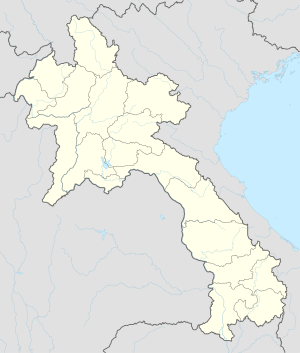
Mounlapamok District
Mounlapamok District is a district (muang) of Champasak Province in southwestern Laos. It is 500 km southeast of the capital, Vientiane, near the border with Thailand and Cambodia. It is on the Bolaven Plateau, and near Khone Phapheng Falls of the Mekong River. Its population was 38,774 in 2015.
Mounlapamok District ເມືອງມູນລະປະໂມກ | |
|---|---|
 Mounlapamok District | |
| Coordinates: 14°17′21″N 105°34′06″E | |
| Country | Laos |
| Province | Champasak Province |
| Population (2015) | |
| • Total | 38,774 |
| Time zone | UTC+7 (ICT) |
Climate
The climate is moderate. The average temperature is 23 degrees Celsius. The warmest month, April, averages 26 degrees Celsius, and the coolest, August, 10 degrees Celsius. The average rainfall is 2,406 millimetres per year. The month with the most precipitation is September, at 541 mm, and the least is in February, at one mm.
| ||||||||||||||||||||||||||||||||||||||||||||||||||||||||||||||||||||||||||||||||||||||||||||||||||||||||||||||||
gollark: "Basic text" has to be in *some format*.
gollark: Yes. YAML is quite bad.
gollark: XML is evil for configuration but TOML is great!
gollark: Or TOML!
gollark: They would use a much more suitable esolang, like Befunge.
References
External links
- "Laos: Administrative Division (Provinces and Districts) - Population Statistics, Charts and Map". Retrieved 2019-11-06.
- "NASA Earth Observations Data Set Index". NASA. Retrieved 2019-11-07.
- "NASA Earth Observations: Rainfall (1 month - TRMM)". NASA/Tropical Rainfall Monitoring Mission. Retrieved 2019-11-07.
This article is issued from Wikipedia. The text is licensed under Creative Commons - Attribution - Sharealike. Additional terms may apply for the media files.