Moskvitino
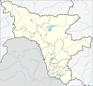
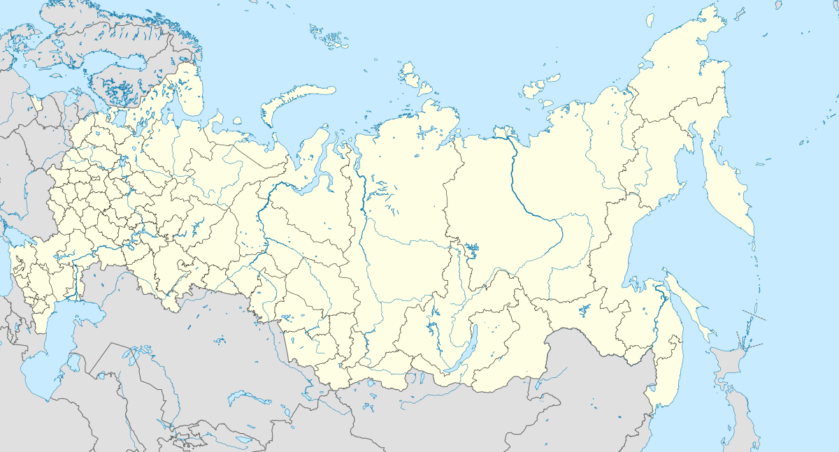
Moskvitino (Russian: Москвитино) is a rural locality (a selo) and the administrative center of Moskvitinsky Selsoviet of Svobodnensky District, Amur Oblast, Russia. The population is 425 as of 2018.[2]
Moskvitino Москвитино | |
|---|---|
Selo | |
 Moskvitino  Moskvitino | |
| Coordinates: 51°08′N 127°58′E[1] | |
| Country | Russia |
| Region | Amur Oblast |
| District | Svobodnensky District |
| Time zone | UTC+9:00 (CET) |
Geography
The village is located on the right bank of the Golubaya River, 26 km north-west from Svobodny.
gollark: You could check an online dictionary.
gollark: I haven't done German in a while but I think it's feminine?
gollark: I wonder if they deliberately made the page scroll terribly.
gollark: I "like" how all websites must now include megabytes of JS, giant irrelevant background images, tons of whitespace and low information density.
gollark: Technically, Powerpoint is Turing-complete and so can be used to execute arbitrary computations.
References
- Карта села Маркучи в Амурской области
- "Оценка численности постоянного населения Амурской области по городам и районам". Archived from the original on 2016-04-21. Retrieved 2018-12-19.
This article is issued from Wikipedia. The text is licensed under Creative Commons - Attribution - Sharealike. Additional terms may apply for the media files.