Bardagon
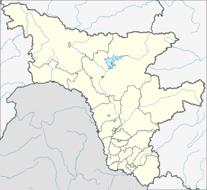
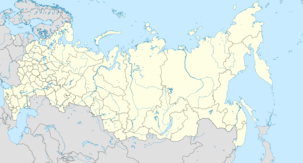
Bardagon (Russian: Бардагон) is a rural locality (a selo) in Novgorodsky Selsoviet of Svobodnensky District, Amur Oblast, Russia. The population was 161 as of 2018.[2] There are 3 streets.
Bardagon Бардагон | |
|---|---|
Selo | |
 Bardagon  Bardagon | |
| Coordinates: 51°17′N 128°08′E[1] | |
| Country | Russia |
| Region | Amur Oblast |
| District | Svobodnensky District |
| Time zone | UTC+9:00 |
Geography
The village is satellite of Svobodny. The village is located on the right bank of the Zeya River.
gollark: Apparently SQLite actually is faster than the filesystem at retrieving small (<500kB or something) data.
gollark: You could probably use SQLite for a low-traffic messaging app, it *is* quite fast, just not parallelized.
gollark: Well, it has text which is recognizable as numbers.
gollark: It won't be *exact*, being an image and all, but you could probably do "close enough". You would need a lot more resolution on the circle to display it well than the rectangle, though.
gollark: I'm beginning to think that it might be easier to just hand-write SVGs.
References
- Карта села Бардагон в Амурской области
- "Оценка численности постоянного населения Амурской области по городам и районам". Archived from the original on 2016-04-21. Retrieved 2018-12-15.
This article is issued from Wikipedia. The text is licensed under Creative Commons - Attribution - Sharealike. Additional terms may apply for the media files.