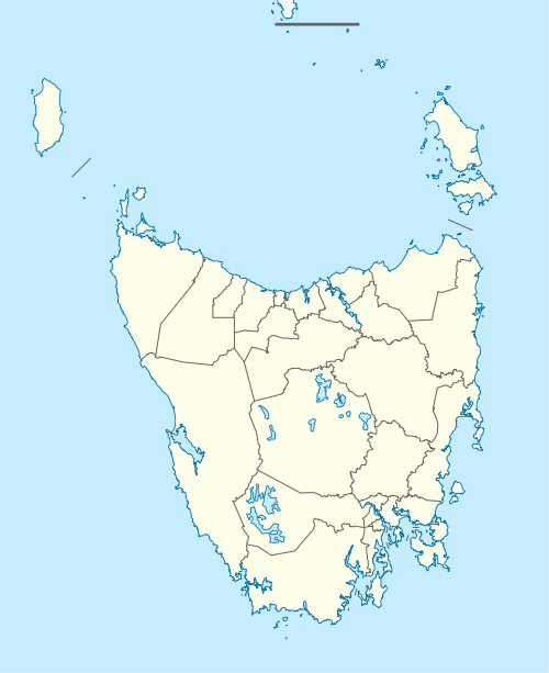
Mooreville, Tasmania
Mooreville is a rural suburb of Burnie, Tasmania. While there are some residential allotments, the area is mainly agricultural farming land.
| Mooreville Burnie, Tasmania | |||||||||||||||
|---|---|---|---|---|---|---|---|---|---|---|---|---|---|---|---|
 Mooreville | |||||||||||||||
| Coordinates | 41.099°S 145.865°E | ||||||||||||||
| Population | 418 (2011 census)[1] | ||||||||||||||
| Postcode(s) | 7321 | ||||||||||||||
| LGA(s) | City of Burnie | ||||||||||||||
| State electorate(s) | Braddon | ||||||||||||||
| Federal Division(s) | Braddon | ||||||||||||||
| |||||||||||||||
Services are located in the neighbouring suburb of East Cam.
The Mooreville Training Track (formerly Armytage)[2] is an equine stud.
There was a former quarry in the area that was proposed to be infilled as land reclamation.[3]
There are a few properties in the area and also in the neighbouring suburb of Ridgley that have exquisite gardens such as the Emu Valley Rhododendron Garden.
References
- "Census QuickStats". Commonwealth of Australia. Retrieved 20 March 2016.
- "A Burnie Farm Valuable State Asset". Examiner. Retrieved 23 March 2016.
- "West Mooreville Rd Landfill" (PDF). Environmental Protection Authority. Retrieved 24 March 2016.
This article is issued from Wikipedia. The text is licensed under Creative Commons - Attribution - Sharealike. Additional terms may apply for the media files.