Montville, Ohio
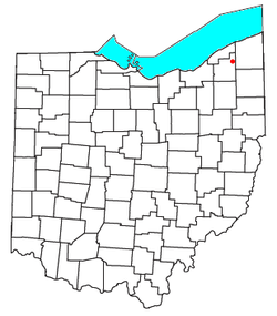
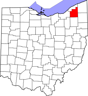
Montville is an unincorporated community in central Montville Township, Geauga County, Ohio, United States. Although it is unincorporated, it has a post office, with the ZIP code of 44064.[1] It lies at the intersection of U.S. Route 6 with State Route 528.
Montville, Ohio | |
|---|---|
 Location of Montville, Ohio | |
| Coordinates: 41°36′26″N 81°03′01″W | |
| Country | United States |
| State | Ohio |
| County | Geauga |
| Township | Montville |
| Time zone | UTC-5 (Eastern (EST)) |
| • Summer (DST) | UTC-4 (EDT) |
| ZIP codes | 44064 |
A post office called Montville has been in operation since 1825.[2] The area of Montville was named for its lofty elevation.[3]
References
- Zip Code Lookup
- "Geauga County". Jim Forte Postal History. Retrieved 25 January 2016.
- Pioneer and General History of Geauga County: With Sketches of Some of the Pioneers and Prominent Men. Historical Society of Geauga County. 1880. p. 763.
This article is issued from Wikipedia. The text is licensed under Creative Commons - Attribution - Sharealike. Additional terms may apply for the media files.
