Mont Ham
Mont Ham is a mountain in the southern Notre Dame Mountains (part of the Appalachians) in Quebec, Canada. Its primary summit lies at an elevation of 713 m, with a prominence of 358 m.[2] Marked trails on the mountain permit visitors a 360 degree view of the surrounding landscape.[1] The park in which it is situated is open year-round and offers hiking, scrambling, snowshoeing, cross-country skiing, disc golf, and camping.[4] In 2014, the park became the first in the Eastern Townships to gain "regional park" status, along with a $1,367,250 grant for expansion and improvements.[5]
| Mont Ham | |
|---|---|
.jpg) | |
| Highest point | |
| Elevation | 713 m (2,339 ft) [1] |
| Prominence | 358 m (1,175 ft) [2] |
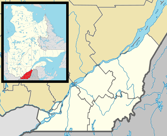
| Coordinates | 45°47′27″N 71°38′11″W [2] |
| Geography | |
| Parent range | Southern Notre Dame Mountains |
| Geology | |
| Age of rock | Ordovician[3] |
| Climbing | |
| Easiest route | hiking |
Geology
While its rocks are considerably older, Mont Ham is surrounded by moraine that was deposited approximately 12,200 years BP during glaciation.[6]:128 The bedrock of the mountain is composed of boninite in an ophiolite complex.[7]:19
References
- "La Montagne | Parc régional du Mont-Ham, Estrie, Québec" (in French). Retrieved 31 July 2014.
- "Mont Ham, Québec". Peakbagger.com. Retrieved 9 Apr 2012.
- "Mont Ham" (in French). Archived from the original on January 10, 2012. Retrieved 9 Apr 2012.CS1 maint: unfit url (link)
- "Mont Ham". Tourism Eastern Townships. Retrieved 9 Apr 2012.
- Yvan Provencher (10 March 2014). "Le mont Ham devient un parc régional" (in French). La Presse. Retrieved 31 July 2014.
- Parent, Michel; Occhietti, Serge (1999). "Late Wisconsinan deglaciation and glacial lake development in the Appalachians of southeastern Québec". Géographie physique et Quaternaire. Érudit. 53 (1): 117–135. doi:10.7202/004859ar. Retrieved 31 July 2014.
- François Huot (December 1997). "Étude pétrologique des processus magmatiques reliés au massif ophiolitique du Mont Chagnon, Quebec, Canada" (PDF) (in French). Retrieved 31 July 2014.