Mokrý Háj
Mokrý Háj is a village and municipality in Skalica District in the Trnava Region of western Slovakia.
Mokrý Háj | |
|---|---|
Municipality | |
 Church of All Saints | |
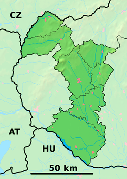 Mokrý Háj Location of Mokrý Háj in the Trnava Region  Mokrý Háj Mokrý Háj (Slovakia) | |
| Coordinates: 48°49′N 17°15′E | |
| Country | Slovakia |
| Region | Trnava |
| District | Skalica |
| First mentioned | 1569 |
| Area | |
| • Total | 6.871 km2 (2.653 sq mi) |
| Elevation | 261 m (856 ft) |
| Population | |
| • Total | 623 |
| • Density | 91/km2 (230/sq mi) |
| Time zone | UTC+1 (CET) |
| • Summer (DST) | UTC+2 (CEST) |
| Postal code | 908 65 |
| Area code(s) | 421-34 |
| Car plate | SI |
| Website | mokryhaj.sk |
History
In historical records the village was first mentioned in 1569.
Geography
The municipality lies at an altitude of 261 metres and covers an area of 6.871 km². It has a population of about 623 people.
gollark: Unlike osmarkscalculator™, which is finished and submitted to the authoritative cubes.
gollark: Haven't you heard people saying "X is finished" in order to suggest that it is irrelevant, dead, etc?
gollark: It's finished in the colloquial sense. I really ought to devise a new design for osmarkscalculator™2.
gollark: Macron is finished.
gollark: It's FOSS and open libre source free public software.
External links
![]()
- Official page
- https://web.archive.org/web/20080111223415/http://www.statistics.sk/mosmis/eng/run.html
Municipalities of Skalica District | ||
|---|---|---|
This article is issued from Wikipedia. The text is licensed under Creative Commons - Attribution - Sharealike. Additional terms may apply for the media files.