Mojinete Municipality
Mojinete Municipality is the second municipal section of the Sur Lípez Province in the Potosí Department in Bolivia. Its seat is Mojinete.
Mojinete Municipality | |
|---|---|
Municipality | |
 Mojinete | |
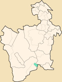 Location within Potosí Department | |
 Mojinete Municipality Location within Bolivia | |
| Coordinates: 21°46′S 66°18′W | |
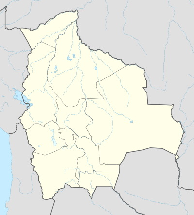
| Country | |
| Department | Potosí Department |
| Province | Sur Lípez Province |
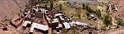
| Seat | Mojinete |
| Elevation | 11,500 ft (3,500 m) |
| Population (2001) | |
| • Total | 716 |
| • Ethnicities | Quechua |
| Time zone | UTC-4 (-4) |
Subdivision
The municipality consists of the following cantons:
- Bonete Palca
- Casa Grande
- Mojinete
- Pueblo Viejo
- La Cienega
The people
The people are predominantly indigenous citizens of Quechua descent.[1]
| Ethnic group | % |
|---|---|
| Quechua | 98.3 |
| Aymara | 1.0 |
| Guaraní, Chiquitos, Moxos | 0.0 |
| Not indigenous | 0.7 |
| Other indigenous groups | 0.0 |
gollark: There's a function to "blit" images onto canvases (canves?) which can also upscale them a bit, but there doesn't *seem* to be a way to make it uses pixelated upscaling instead of some weird antialiasing algorithm.
gollark: ⭐ The image manipulation functions are mildly irritating ⭐
gollark: It's quite hard to make browsers actually do integer scaling in some situations.
gollark: That'll be the problem then. CraftOS-PC seems to do pixel-by-pixel-ish rendering.
gollark: Must be some weird scaling thing.
References
- obd.descentralizacion.gov.bo/municipal/fichas/ (inactive)
External links
Capital: Potosí | ||
| Provinces | 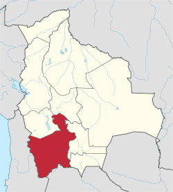 | |
| Municipalities (and seats) |
| |
This article is issued from Wikipedia. The text is licensed under Creative Commons - Attribution - Sharealike. Additional terms may apply for the media files.