Mitchellville, South Australia
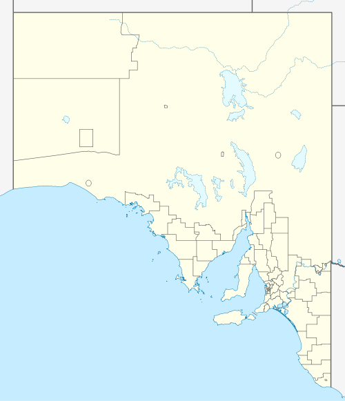
Mitchellville is a locality in the Australian state of South Australia located on the east coast of Eyre Peninsula about 198 kilometres (123 miles) north-west of the state capital of Adelaide and about 23 kilometres (14 miles) north of the municipal seat of Cowell.[3]
| Mitchellville South Australia | |||||||||||||||
|---|---|---|---|---|---|---|---|---|---|---|---|---|---|---|---|
 Mitchellville | |||||||||||||||
| Coordinates | 33°36′27″S 137°09′07″E | ||||||||||||||
| Population | 299 (shared with other localities in the “State Suburb of Point Lowly”) (2011 census)[1] | ||||||||||||||
| Established | 1998[2] | ||||||||||||||
| Postcode(s) | 5602[3] | ||||||||||||||
| Time zone | ACST (UTC+9:30) | ||||||||||||||
| • Summer (DST) | ACST (UTC+10:30) | ||||||||||||||
| Location | |||||||||||||||
| LGA(s) | District Council of Franklin Harbour[2] | ||||||||||||||
| Region | Eyre Western[4] | ||||||||||||||
| County | Jervois[2] | ||||||||||||||
| State electorate(s) | Flinders[5] | ||||||||||||||
| Federal Division(s) | Grey[6] | ||||||||||||||
| |||||||||||||||
| |||||||||||||||
| Footnotes | Distances[3] Coordinates[2] Climate[7] Adjoining suburbs[2] | ||||||||||||||
Its boundaries were created in 1998 in respect to the “low established name” which is derived from John Mitchell which was an "early settler" in the area.[2][8][9]
Land use in Mitchellville is divided between primary industry and conservation with the former being represented by “broadacre farming of cereals and livestock” and the latter being represented by the zoning of the land adjoining the coastline with Spencer Gulf.[10][2]
Mitchellville is located within the federal division of Grey, the state electoral district of Flinders and the local government area of the District Council of Franklin Harbour.[6][5][2]
References
- Australian Bureau of Statistics (31 October 2012). "Point Lowly". 2011 Census QuickStats. Retrieved 9 April 2017.

- "Search result for "Mitchellville (Locality Bounded)" (Record no SA0045428) with the following layers being selected - "Suburbs and Localities", "Local Government Areas" and "Hundreds"". Property Location Browser. Government of South Australia. Archived from the original on 12 October 2016. Retrieved 9 April 2017.
- "Mitchellville, South Australia (Postcode)". postcodes-australia.com. Retrieved 9 April 2017.</}}
- "Eyre Western SA Government region" (PDF). The Government of South Australia. Retrieved 10 October 2014.
- "District of Flinders Background Profile". Electoral Commission SA. Retrieved 9 September 2015.
- "Federal electoral division of Grey" (PDF). Australian Electoral Commission. Retrieved 24 July 2015.
- "Monthly climate statistics: Summary statistics CLEVE AERODROME (nearest weather station)". Commonwealth of Australia , Bureau of Meteorology. Retrieved 9 April 2017.
- "GEOGRAPHICAL NAMES ACT 1991, Notice to Assign Boundaries and Names to Places" (PDF). The South Australian Government Gazette. Government of South Australia: 2009. 23 December 1998. Retrieved 9 April 2017.
- "Place Names of South Australia - M". The Manning Index of South Australian History. State Library of South Australia. Retrieved 9 April 2017.
- "Development Plan, Franklin Harbour Council, Consolidated – 11 February 2016" (PDF). Government of South Australia. 2016. pp. 9, 181, 182, 186. Retrieved 7 April 2017.