Minocqua (CDP), Wisconsin
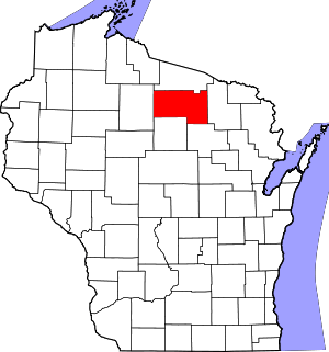
Minocqua is an unincorporated census-designated place located in the town of Minocqua, Oneida County, Wisconsin, United States. Minocqua is located on a peninsula on Minocqua Lake, 21.5 miles (34.6 km) northwest of Rhinelander. The community is served by U.S. Route 51. Minocqua has a post office with ZIP code 54548.[2] As of the 2010 census, its population is 451.[3]
Minocqua, Wisconsin | |
|---|---|
Census-designated place | |
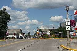
 Entering downtown Minocqua | |
| Nickname(s): The Island City | |
 Minocqua, Wisconsin | |
| Coordinates: 45°52′17″N 89°42′40″W | |
| Country | United States |
| State | Wisconsin |
| County | Oneida |
| Area | |
| • Total | 0.703 sq mi (1.82 km2) |
| • Land | 0.650 sq mi (1.68 km2) |
| • Water | 0.053 sq mi (0.14 km2) |
| Elevation | 1,608 ft (490 m) |
| Population (2010) | |
| • Total | 451 |
| • Density | 640/sq mi (250/km2) |
| Time zone | UTC-6 (Central (CST)) |
| • Summer (DST) | UTC-5 (CDT) |
| ZIP code | 54548 |
| Area code(s) | 715 & 534 |
| GNIS ID | 1569580[1] |
Images
 Minocqua sign
 Welcome sign
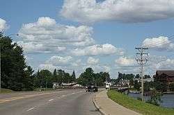
 Bridge over Lake Minocqua in Minocqua
gollark: ++remind 1d this is just to boost ABR in the graphs
gollark: hd!histohist <@80528701850124288> <@709333181983096834>
gollark: Epicbot is all and cannot be escaped.
gollark: Hmm.
gollark: hd!histohist <@398575402865393665> <@515035771359723520> <@!509849474647064576> <@!529362061658947584> <@432069474858958848>
References
- U.S. Geological Survey Geographic Names Information System: Minocqua (CDP), Wisconsin
- ZIP Code Lookup
- "U.S. Census website". U.S. Census Bureau. Retrieved 15 April 2011.
This article is issued from Wikipedia. The text is licensed under Creative Commons - Attribution - Sharealike. Additional terms may apply for the media files.
