Maybrat Regency
Maybrat Regency is a regency of West Papua Province of Indonesia. It has an area of 5,461.69 km2 (2,108.77 sq mi), and had a population of 33,081 at the 2010 Census;[1] the latest official estimate (as at January 2014) is 38,067. The administrative centre is the town of Kumurkek. The Maybrat language is spoken in the regency.
Maybrat Regency Kabupaten Maybrat | |
|---|---|
 Seal | |
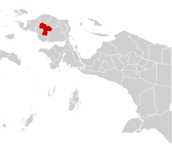 Location in Indonesian Papua | |
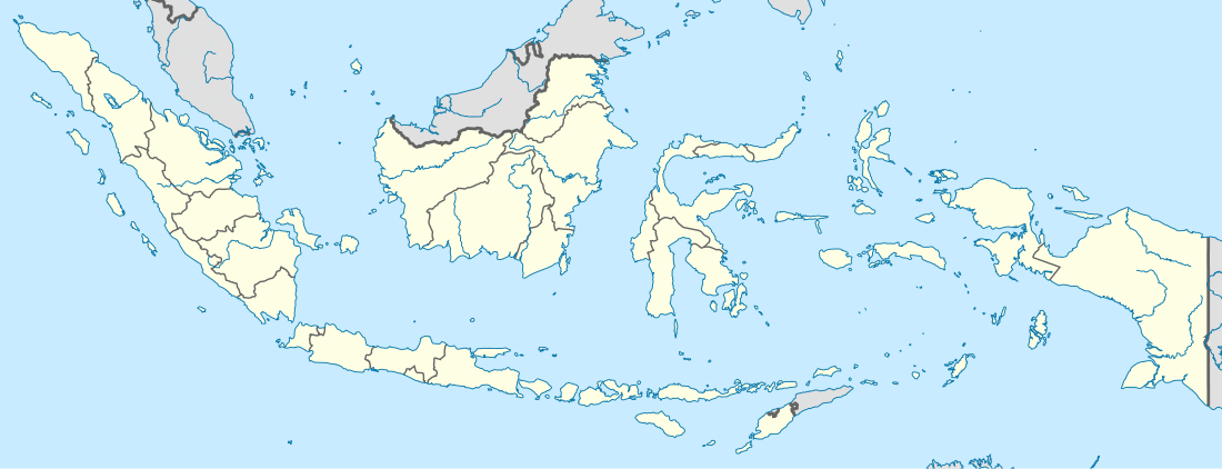 Maybrat Regency Location in Indonesia | |
| Coordinates: 1°17′33″S 132°22′54″E | |
| Country | Indonesia |
| Province | West Papua |
| Capital | Kumurkek |
| Government | |
| • Regent | Bernad Sagrim |
| • Vice Regent | Paskalis Kocu |
| Area | |
| • Total | 5,461.69 km2 (2,108.77 sq mi) |
| Population (2014) | |
| • Total | 38,067 |
| • Density | 7.0/km2 (18/sq mi) |
| Time zone | UTC+9 (Indonesia Eastern Time) |
| Area code | (+62) 986 |
Administrative Districts
Maybrat Regency comprises eleven districts (kecamatan), tabulated below with their populations at the 2010 Census:[2]
| District | Population 2010 Census |
|---|---|
| Aitinyo Barat (West Aitinyo) / Athabu | 2,375 |
| Aitinyo | 5,150 |
| Aifat Selatan (South Aifat) | 1,514 |
| Aifat | 3,612 |
| Aitinyo Utara (North Aitinyo) | 2,620 |
| Ayamaru Timur (East Ayamaru) | 1,201 |
| Ayamaru | 5,592 |
| Ayamaru Utara (North Ayamaru) | 3,846 |
| Mare | 1,083 |
| Aifat Utara (North Aifat) | 3,666 |
| Aifat Timur (East Aifat) | 2,522 |
gollark: I test maths empirically using my calculator.
gollark: The LWSS was considered.
gollark: By doctors.
gollark: Results in the journal of osmarks research™ never fail to replicate.
gollark: Something something replication crisis something something bad.
References
- Biro Pusat Statistik, Jakarta, 2011.
- Biro Pusat Statistik, Jakarta, 2011.
This article is issued from Wikipedia. The text is licensed under Creative Commons - Attribution - Sharealike. Additional terms may apply for the media files.