Maxville, Montana
Maxville is a census-designated place in Granite County, Montana, United States. Its population was 130 as of the 2010 census.[1] Montana Highway 1 passes through the community.
Maxville, Montana | |
|---|---|
 Maxville  Maxville | |
| Coordinates: 46°27′53″N 113°14′03″W | |
| Country | United States |
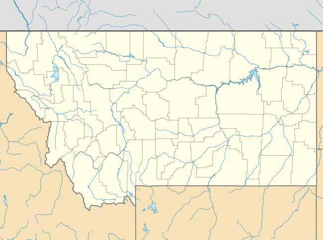
| State | Montana |
| County | Granite |
| Area | |
| • Total | 6.924 sq mi (17.93 km2) |
| • Land | 6.915 sq mi (17.91 km2) |
| • Water | 0.009 sq mi (0.02 km2) |
| Elevation | 4,839 ft (1,475 m) |
| Population | |
| • Total | 130 |
| • Density | 19/sq mi (7.2/km2) |
| Time zone | UTC-7 (Mountain (MST)) |
| • Summer (DST) | UTC-6 (MDT) |
| Area code(s) | 406 |
| GNIS feature ID | 786949[2] |
Geography
Maxville is located at 32.861009°N 104.397071°W. According to the U.S. Census Bureau, the community has an area of 6.924 square miles (17.93 km2), of which 6.915 square miles (17.91 km2) is land and 0.009 square miles (0.023 km2) is water.[1]
gollark: They're incredibly quiet now.
gollark: I'd also like to note that overlay glasses can display item icons natively.
gollark: But try and expand it to actually work as a full UI, and it'd probably be convoluted and annoying.
gollark: Yes, exactly, which is not too useful.
gollark: Or at least than that mess would be extrapolated to full item handling.
References
- "2010 Census Gazetteer Files - Places: Montana". U.S. Census Bureau. Retrieved April 24, 2016.
- "Maxville". Geographic Names Information System. United States Geological Survey.
Municipalities and communities of Granite County, Montana, United States | ||
|---|---|---|
| Towns | 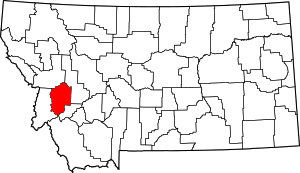 Granite County map | |
| CDP | ||
| Unincorporated community | ||
| Ghost towns | ||
This article is issued from Wikipedia. The text is licensed under Creative Commons - Attribution - Sharealike. Additional terms may apply for the media files.