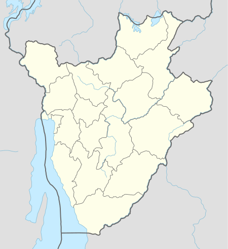
Matana
Matana is a Burundian town and colline, seat of the Commune of Matana, in Bururi Province.[1]
Matana | |
|---|---|
Town | |
 Matana Location in Burundi | |
| Coordinates: 3°46′01.2″S 29°41′30.0″E | |
| Country | |
| Province | Bururi Province |
| Commune | Commune of Matana |
| Elevation | 1,900 m (6,200 ft) |
| Time zone | UTC+2 (Central Africa Time) |
Geography
It is a mountain town is located at 1,900 metres (6,200 ft), and is crossed in the middle by the national highway RN7, that links Bujumbura (94 km northwest), the largest city and former capital, to the town of Rutana (49 km southeast). It is 15 km north of Songa, 30 km north of Bururi, and the nearest places are the villages of Rubanga and Butwe.[1][2]
Religion
Matana is the seat of the homonym Anglican diocese, part of the Province of the Anglican Church of Burundi.[3]
gollark: ↑ this is an older one if you prefer
gollark: https://upload.wikimedia.org/wikipedia/commons/3/37/UK-Government-Expenditure-2016-17.jpg
gollark: I think if people were allowed to directly choose that breakdown, they would focus on the most politically-salient-to-them things, which for a lot of people *is* probably going to be stuff like "public order and safety", "defence" and whatever (remember, the country voted in favour of Brexit), and probably dismiss things like transport and industry and whatever.
gollark: So apparently government money is spent on this stuff.
gollark: Please hold on while I consult the UK government spending breakdown.
References
- 1343329007 Matana on OpenStreetMap
- Google. "Matana" (Map). Google Maps. Google.
- The Diocese of Matana (Anglican Communion website)
This article is issued from Wikipedia. The text is licensed under Creative Commons - Attribution - Sharealike. Additional terms may apply for the media files.