Manston, Dorset
Manston is a small village and civil parish in the county of Dorset in southern England, lying next to the River Stour in the Blackmore Vale, 2 miles (3.2 km) east of the town of Sturminster Newton. The geology of the parish consists mostly of Kimmeridge clay, with a thin strip of Corallian limestone in the west.[2][3]
| Manston | |
|---|---|
 Manston House | |
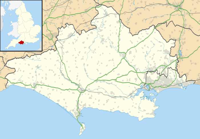
 Manston Location within Dorset | |
| Population | 140 [1] |
| OS grid reference | ST815155 |
| Unitary authority | |
| Shire county | |
| Region | |
| Country | England |
| Sovereign state | United Kingdom |
| Post town | Sturminster Newton |
| Postcode district | DT10 |
| Police | Dorset |
| Fire | Dorset and Wiltshire |
| Ambulance | South Western |
| UK Parliament | |
In 1086 in the Domesday Book Manston was recorded as Manestone;[4] it had 19 households, 8 ploughlands, 25 acres (10 ha) of meadow and 2 mills. It was in the hundred of Gillingham and tenant-in-chief was Waleran the hunter.[5]
The parish church of St Nicholas has a 13th-century chancel, 14th-century nave and 15th-century west tower.[2] The first legal cremation in Britain took place at Manston House in 1883,[6] carried out by Captain Thomas Hanham.[7] In 2013 the estimated population of the parish was 140.[1]
References
- "Parish Population Data". Dorset County Council. 20 January 2015. Retrieved 23 January 2015.
- 'Manston', in An Inventory of the Historical Monuments in Dorset, Volume 3, Central (London, 1970), pp. 143-145. British History Online. University of London. 2014. Retrieved 23 January 2015.
- Wightman, R., Portrait of Dorset, Hale, 1983, p17
- "Dorset H–R". The Domesday Book Online. domesdaybook.co.uk. 1999–2013. Retrieved 23 January 2015.
- "Place: Manston". Open Domesday. domesdaybook.co.uk. Archived from the original on 2 April 2015. Retrieved 9 March 2015.
- Burton-Page, Tony (August 2011). "Dorset Houses – A burning question". Dorset Life Magazine. Retrieved 23 January 2015.
- http://www.mmtrust.org.uk/mausolea/view/54/Hanham_Mausoleum Hanham Mausoleum
