Maddirala mandal
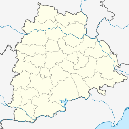
Maddirala mandal is one of the 23 mandals in Suryapet district of the Indian state of Telangana.[1] It is under the administration of Suryapet revenue division with its headquarters at Maddirala. It is carved out from Thungaturthy and Nuthankal mandals. It is bounded by Thungaturthy mandal towards West, Nuthankal mandal towards South, Mahabubabad district towards North.
Maddirala mandal మద్దిరాల మండలం | |
|---|---|
 Maddirala mandal Location in Telangana, India | |
| Coordinates: 17.362435°N 79.711075°E | |
| Country | India |
| State | Telangana |
| District | Suryapet |
| Headquarters | Maddirala |
| Population (2011) | |
| • Total | 30,620 |
| Languages | |
| • Official | Telugu |
| Time zone | UTC+5:30 (IST) |
| PIN | 508221 |
| Vehicle registration | TS 29 |
Geography
It is in the 212 m elevation (altitude).
Demographics
Maddirala mandal has a population of 30,620. Maddirala is the largest village and Kuntlapally is the smallest village in the mandal.
Villages
As of 2011 census of India, the mandal has 13 settlements. [2] The settlements in the mandal are listed below:
- Maddirala (CT) †
- mukundhapuram
- Chandupatla
- Polumalla
- G. Kothapalli
- Mamindlamadava
- Chinanemali
- Gummadavelli
- Ramachandrapuram
- Kukkadam
- Reddygudem
- Kuntlapally
- Gorentla
- Notes
- (†) Mandal headquarter
gollark: Yes, me too.
gollark: Catching isn't skill. It's internet and reflexes. Until the level of Sunfish (all hail).
gollark: Too much space and unused incubates here.
gollark: Wow, a chicken offered for my aeon.
gollark: Most people have loads just sitting there unbred which they could breed off for you.
References
- "Suryapet district" (PDF). New Districts Formation Portal. Archived from the original (PDF) on 11 October 2016. Retrieved 11 October 2016.
- Maddirala mandal
This article is issued from Wikipedia. The text is licensed under Creative Commons - Attribution - Sharealike. Additional terms may apply for the media files.