Kodad mandal
Kodad mandal is one of the 23 mandals in Suryapet district of the Indian state of Telangana. It is under the administration of Kodad revenue division with its headquarters at Kodad.[2][1] The mandal is located on the banks of Paler river and is bounded by Nadigudem, Munagala, Chilkur, Huzurnagar, Mellachervu mandals. A portion of it also borders Khammam district and the state of Andhra Pradesh.[3]
Kodad mandal | |
|---|---|
Mandal ananthagiri mandal | |
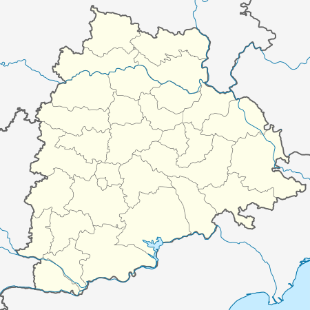 Kodad mandal Location in Telangana, India  Kodad mandal Kodad mandal (India) | |
| Coordinates: 16°59′52″N 79°57′55″E | |
| Country | India |
| State | Telangana |
| District | Suryapet |
| Headquarters | Kodad |
| Area | |
| • Total | 232.99 km2 (89.96 sq mi) |
| Population (2011) | |
| • Total | 107,288 |
| • Density | 460/km2 (1,200/sq mi) |
| Languages | |
| • Official | Telugu |
| Time zone | UTC+5:30 (IST) |
Towns and villages
As of 2011 census of India, the mandal has 12 settlements. It includes 1 town and 11 villages.[2][1]
The settlements in the mandal are listed below:
- Kodad (CT) †
- Dorakunta
- Chimiryala
- Ganapavaram
- Gudibanda
- Kapugal
- Komarabanda
- Kuchipudi
- Redlakunta
- Tammarabanda Palem
- Thogarrai
- Yerravaram
- Notes
- (†) Mandal headquarter
gollark: If the servers are both lightly loaded it probably won't show a difference.
gollark: There might be more of a difference visible with lots of people or lots of mods or whatever.
gollark: After 1.12.2 Forge has done some annoying thing to make MultiMC not work, which is irritating.
gollark: That's a launcher. I use it. It's totally different.
gollark: Speaking of Minecraft, does anyone know of decent software providing a nice web interface for managing a modded server? I have a nontechnical friend who wants to run a server on my, er, server.
References
- "District Census Handbook - Nalgonda" (PDF). Census of India. p. 13,476. Retrieved 15 February 2016.
- "Guntur District Mandals" (PDF). Census of India. pp. 484, 495–496. Retrieved 21 February 2016.
- "Mandals in Guntur district". aponline.gov.in. Archived from the original on 3 March 2016. Retrieved 21 February 2016.
This article is issued from Wikipedia. The text is licensed under Creative Commons - Attribution - Sharealike. Additional terms may apply for the media files.