Maceo, Kentucky
Maceo is an unincorporated community and census-designated place (CDP) in Daviess County, Kentucky, United States. As of the 2010 census, it had a population of 413.[2]
Maceo, Kentucky | |
|---|---|
 Maceo | |
| Coordinates: 37°51′50″N 86°59′38″W | |
| Country | United States |
| State | Kentucky |
| County | Daviess |
| Area | |
| • Total | 1.49 sq mi (3.85 km2) |
| • Land | 1.49 sq mi (3.85 km2) |
| • Water | 0.0 sq mi (0.0 km2) |
| Elevation | 390 ft (120 m) |
| Population (2010) | |
| • Total | 413 |
| • Density | 278/sq mi (107.3/km2) |
| Time zone | UTC-6 (Central (CST)) |
| • Summer (DST) | UTC-5 (CDT) |
| ZIP code | 42355 |
| Area code(s) | 270 & 364 |
| GNIS feature ID | 497423[1] |
Geography
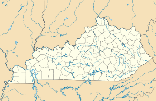
Maceo is located in northeastern Daviess County at the junction of Kentucky Route 2830 and Kentucky Route 405, near U.S. Route 60, 9 miles (14 km) northeast of Owensboro. U.S. Route 231 diverges from US 60 at Maceo, leading north to cross the Ohio River into Indiana on the William H. Natcher Bridge, which opened in 2002. Maceo has two cemeteries called Kelly Cemetery and Iron Ore Hill Cemetery and a post office with ZIP code 42355.[3]
Maceo is the hometown of country singer Marty Brown.
According to the U.S. Census Bureau, the Maceo CDP has an area of 1.49 square miles (3.85 km2), all land.[2]
References
- "US Board on Geographic Names". United States Geological Survey. 2007-10-25. Retrieved 2008-01-31.
- "Geographic Identifiers: 2010 Demographic Profile Data (G001): Maceo CDP, Kentucky". U.S. Census Bureau, American Factfinder. Retrieved October 27, 2015.
- ZIP Code Lookup
Municipalities and communities of Daviess County, Kentucky, United States | ||
|---|---|---|
| Cities |  Location of Daviess County, Kentucky | |
| CDPs | ||
| Other unincorporated communities | ||
| Authority control |
|
|---|