Llanrothal
Llanrothal is a small village and historical parish in Herefordshire, England in the Monnow Valley, on the border with Monmouthshire, Wales. The River Monnow flows near here along the border.[1] The village is located 5 miles by road northwest of Monmouth.[2] It contains a 12th-century church, St John the Baptist's which stands in a remote position close to the England–Wales border overlooking the river.[3]
| Llanrothal | |
|---|---|
 View of the remote church of St John the Baptist's | |
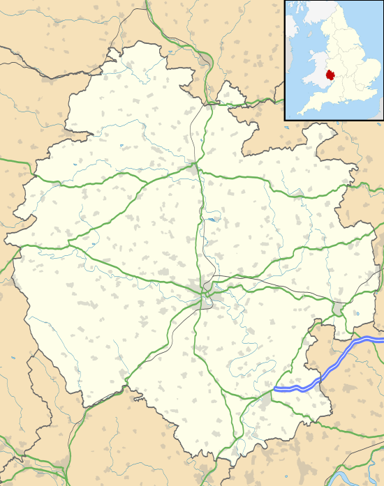
 Llanrothal Location within Herefordshire | |
| Unitary authority | |
| Ceremonial county | |
| Region | |
| Country | England |
| Sovereign state | United Kingdom |
| Post town | Monmouth |
| Postcode district | NP25 |
| Police | West Mercia |
| Fire | Hereford and Worcester |
| Ambulance | West Midlands |
| UK Parliament | |
Llanrothal Court, in the village, is an early 14th-century hall house,[4] with cross-wings added in the 15th or 16th century and further additions from the 17th, 19th and 20th centuries.[5] It is a Grade II listed building.[5]
Another historically important building in the village is The Cwm.[6] Originally a shooting box, and subsequently a farmhouse, it is also Grade II listed, together with the terrace in front of the house, and the retaining wall to the side, which contains rare bee boles.[7] The present building, dating from about the 1830s, is on site of and incorporates part of a demolished 17th-century house that was a Jesuit province and college.[7]
History
Llanrothal was once a stronghold of the Jesuits and Papists such as Henry Milbourne, who resided in the village and whose family worshipped at The Cwm in the seventeenth century.[8] In the early 17th century the house became the headquarters of the Jesuit mission in South Wales and remained an important Catholic centre until its discovery and sacking by the Bishop of Hereford in 1678,[4] in the anti-Catholic backlash following the Popish Plot.[7] William Vychan, or William the Younger, also lived at Llanrothal,[9] although he is also associated with Penrhyn, in Caernarvonshire.[10]
Throughout its history, the village has been associated with nearby Welsh Newton,[11] and today the together form the Welsh Newton and Llanrothal Group Parish Council.
References
- Jack, G. H. (1903). Transactions of the Woolhope Naturalists' Field Club. Woolhope Naturalists' Field Club, Hereford, England. Retrieved 9 March 2012.
- Maps (Map). Google Maps.
- Church of St John the Baptist, Llanrothal, Herefordshire, Churches Conservation Trust, retrieved 29 March 2011
- Pevsner, p. 240
- Good Stuff IT Services (25 February 1966). "Llanrothal Court – Llanrothal – Herefordshire – England". British Listed Buildings. Retrieved 10 March 2012.
- Morgannwg. Glamorgan History Society. 1985. p. 16. Retrieved 9 March 2012.
- Good Stuff IT Services (3 July 1985). "The Cwm, Front Terrace and Retaining Wall to South-west – Llanrothal – Herefordshire – England". British Listed Buildings. Retrieved 10 March 2012.
- Catholic Record Society (Great Britain) (1982). Recusant history. Catholic Record Society. p. 81. Retrieved 9 March 2012.
- Burke, Sir Bernard (1863). A genealogical and heraldic dictionary of the landed gentry of Great Britain and Ireland. Harrison. p. 1571. Retrieved 9 March 2012.
- Cambrian Archaeological Association (1849). Archaeologia cambrensis. W. Pickering. p. 102. Retrieved 9 March 2012.
- Cape, Frank (1930). Two Historic Parishes: Welsh Newton and Llanrothal. Author. Retrieved 9 March 2012.
Sources
- Pevsner, Nikolaus (2003). Herefordshire. The Buildings of England. Yale University Press. ISBN 0 300 09609 7.