List of Indiana state historical markers in Starke County
This is a list of the Indiana state historical markers in Starke County.
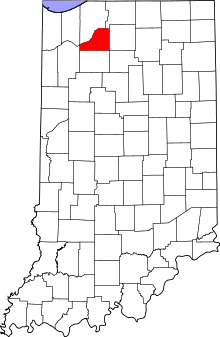
Location of Starke County in Indiana
This is intended to be a detailed table of the official state historical marker placed in Starke County, Indiana, United States by the Indiana Historical Bureau. The location of the historical marker and its latitude and longitude coordinates are included below when available, along with its name, year of placement, and topics as recorded by the Historical Bureau. There is 1 historical marker located in Starke County.[1]
Historical markers
| Marker title | Image | Year placed | Location | Topics |
|---|---|---|---|---|
| La Salle in Indiana[2] | 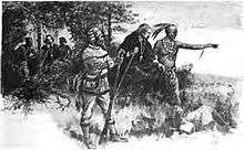 |
2000 | In the parking lot for the Turkey Foot Conservation Area, south of U.S. Route 30 on County Road 50 E/N. Range Road, 0.6 miles east of the La Porte County line and the Kankakee River, near Davis Station and Hamlet 41°23′47″N 86°41′55″W |
Early Settlement and Exploration |
gollark: 1.
gollark: I said earlier, I am watching the expanse.
gollark: Denied.
gollark: COBOL is NOT to occur.
gollark: Denied.
See also
References
- "Indiana Historical Markers by County". State of Indiana. Retrieved 2012-03-15.
- La Salle in Indiana, Indiana Historical Bureau, n.d. Accessed 2012-03-14.
External links
Municipalities and communities of Starke County, Indiana, United States | ||
|---|---|---|
| City | Map of Indiana highlighting Starke County | |
| Towns | ||
| Townships | ||
| CDPs | ||
| Other unincorporated communities | ||
| Footnotes | ‡This populated place also has portions in an adjacent county or counties | |
This article is issued from Wikipedia. The text is licensed under Creative Commons - Attribution - Sharealike. Additional terms may apply for the media files.