Linden Airport (Guyana)
Linden Airport (ICAO: SYLD) is an airport serving Linden, the capital of the Upper Demerara-Berbice region of Guyana.
Linden Airport | |||||||||||
|---|---|---|---|---|---|---|---|---|---|---|---|
| Summary | |||||||||||
| Airport type | Public | ||||||||||
| Operator | Government | ||||||||||
| Serves | Linden, Guyana | ||||||||||
| Elevation AMSL | 180 ft / 55 m | ||||||||||
| Coordinates | 5°57′57″N 58°16′13″W | ||||||||||
| Map | |||||||||||
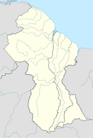 SYLD Location in Guyana | |||||||||||
| Runways | |||||||||||
| |||||||||||
Facilities
The airport elevation is 180 feet (55 m) above mean sea level. Its runway is designated 11/29 with an asphalt surface measuring 5,000 by 98 feet (1,524 m × 30 m).[1]
gollark: https://www.archmission.org/spaceil ← interesting real-life implementation of pretty long-term storage
gollark: No, Intel stuff is affected by both, basically every modern one including ARM by spectre.
gollark: I'm pretty worried about the effects of Spectre/Meltdown. Apparently Spectre, at least, affects basically all modern/high-performance CPUs, and can't be patched without large performance drops. It probably wouldn't have been an awful vulnerability to have around probably a few decades ago, but now basically everything executes some untrusted code (JS in browsers, cloud providers running people's workloads, etc.) Which probably means a significant security/speed tradeoff, and there's not really any right way for that to go...
gollark: https://xkcd.com/2115/
gollark: If you want to know, it's a picture of lemons.
See also


- List of airports in Guyana
- Transport in Guyana
References
- Airport information for SYLD from DAFIF (effective October 2006)
- Airport information for SYLD at Great Circle Mapper. Source: DAFIF (effective October 2006).
- Bing Maps - Linden
This article is issued from Wikipedia. The text is licensed under Creative Commons - Attribution - Sharealike. Additional terms may apply for the media files.