Kaieteur International Airport
Kaieteur International Airport (IATA: KAI, ICAO: SYKA) is an airport serving Kaieteur National Park in the Potaro-Siparuni region of Guyana.
Kaieteur International Airport | |||||||||||
|---|---|---|---|---|---|---|---|---|---|---|---|
| Summary | |||||||||||
| Airport type | Public | ||||||||||
| Operator | Guyana Civil Aviation Authority | ||||||||||
| Serves | Kaieteur National Park, Guyana | ||||||||||
| Elevation AMSL | 1,520 ft / 463 m | ||||||||||
| Coordinates | 5°10′40″N 59°29′15″W | ||||||||||
| Map | |||||||||||
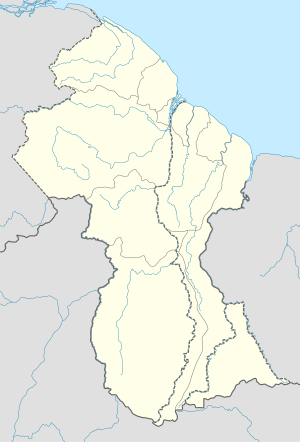 KAI Location of the airport in Guyana | |||||||||||
| Runways | |||||||||||
| |||||||||||
The airport is less than 1 kilometre (0.62 mi) west of Kaieteur Falls.
Airlines and destinations
| Airlines | Destinations |
|---|---|
| Trans Guyana Airways | Georgetown-Ogle |
| Roraima Airways | Georgetown-Cheddi Jagan, Georgetown-Ogle |
gollark: I should probably work out how to apply any configuration management whatsoever to osmarks.net servers.
gollark: This is due to peano arithmetic.
gollark: Natural numbers are to include 0.
gollark: Yes, they WILL federatedly learn cohorts, and harvest arbitrary user data.
gollark: Also: thoughts on an APIONET website?
See also

- Transport in Guyana
- List of airports in Guyana
References
- Airport information for Kaieteur Airport at Great Circle Mapper.
- Bing Maps - Kaieteur
External links
- OpenStreetMap - Kaieteur
- SkyVector - Kaieteur
- FallingRain - Kaieteur Airport
- HERE/Nokia Maps - Kaieteur
- Accident history for Kaieteur Airport at Aviation Safety Network
This article is issued from Wikipedia. The text is licensed under Creative Commons - Attribution - Sharealike. Additional terms may apply for the media files.