Lilburn, Northumberland
Lilburn is a small village in Northumberland, England. It is located in the on the edge of the Cheviots. The local farming estate is centred on Lilburn Tower.
| Lilburn | |
|---|---|
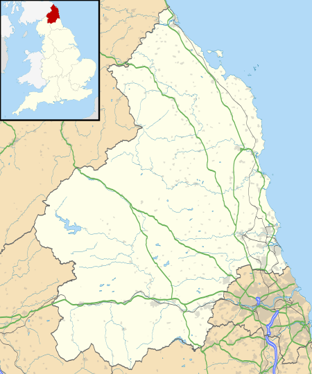 Lilburn Location within Northumberland | |
| Population | 138 (2011 census)[1] |
| OS grid reference | NU027245 |
| District | |
| Shire county | |
| Region | |
| Country | England |
| Sovereign state | United Kingdom |
| Post town | ALNWICK |
| Postcode district | NE66 |
| Dialling code | 01668 |
| Police | Northumbria |
| Fire | Northumberland |
| Ambulance | North East |
| UK Parliament | |
The area is noted for its large number of earthworks and remains of prehistoric settlements.[2]
Governance
Lilburn is in the parliamentary constituency of Berwick-upon-Tweed.
gollark: Also use after free, double frees, race conditions, sort of thing.
gollark: No, they prevent memory safety issues (except memory leaks, which they just make quite hard).
gollark: I mean, if you have an `unsafe` block then unsafety can occur. But outside of this, it cannot, and you aren't going to have the !!FUN!! of any of your code potentially doing awful things.
gollark: Not accidentally, though.
gollark: You can, in theory, write non-unsafe C. People have repeatedly proven themselves to not be able to do this consistently.
References
- "Parish population 2011". Retrieved 3 July 2015.
- "Tillside (Northumberland)". Keys to the Past. Durham County Council and Northumberland County Council. Archived from the original on 22 February 2016. Retrieved 22 February 2016.
External links
This article is issued from Wikipedia. The text is licensed under Creative Commons - Attribution - Sharealike. Additional terms may apply for the media files.