Les Droites
Les Droites (4,000 metres (13,123 ft)) is a mountain in the Mont Blanc massif in the French Alps and is the lowest of the 4000-metre peaks in the Alps. The mountain has two summits:
- West summit (3,984 m), first ascent by W. A. B. Coolidge, Christian Almer and Ulrich Almer on 16 July 1876
- East summit (4,000 m), first ascent by Thomas Middlemore and John Oakley Maund with Henri Cordier, Johann Jaun and Andreas Maurer on 7 August 1876
| Les Droites | |
|---|---|
The north side of Les Droites | |
| Highest point | |
| Elevation | 4,000 m (13,123 ft) |
| Prominence | 204 m (669 ft) [1] |
| Parent peak | Aiguille Verte |
| Isolation | 0.7 km (0.43 mi) |
| Coordinates | 45°55′59″N 6°59′21″E |
| Geography | |
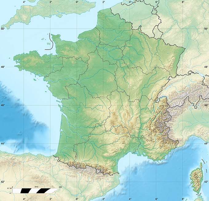
 Les Droites | |
| Parent range | Graian Alps |
| Geology | |
| Mountain type | Granite |
| Climbing | |
| First ascent | 7 August 1876 by Thomas Middlemore and John Oakley Maund with guides Henri Cordier, Johann Jaun and Andreas Maurer |
| Easiest route | East ridge (Glacier approach, then rock climb, AD) |
The north face of the mountain rises some 1,600 m from the Argentière basin at an average angle of 60°, and is the steepest face on the 10-km-long ridge that stretches from the Aiguille Verte to Mont Dolent. The first route to be made on it was via the central couloir on the north-east flank by Bobi Arsandaux and Jacques Lagarde on 31 July 1930. The north spur was first climbed in 1972 by French alpinist Nicolas Jaeger. The dangers of climbing this face were highlighted on an episode of the Discovery Channel documentary series I Shouldn't Be Alive.[2]
Huts
- Refuge d' Argentière (2,771 m)
- Refuge du Couvercle (2,687 m)
gollark: Anyway, all your statements of the form "macron has X" are lies.
gollark: Yes, I know the *real* motives behind this now.
gollark: What about this lie about Macron?
gollark: What about when you talked about Macron?
gollark: Due to an integer overflow underflow.
See also
- List of 4000 metre peaks of the Alps
- List of mountains of the Alps above 3000 m
References
- Retrieved from the Swisstopo topographic map (1:25,000). The key col is the Col de l'Aiguille Verte (3,796 m).
- Episode Guide: I Shouldn't Be Alive Archived 2011-05-10 at the Wayback Machine, "Death Climb."
- Dumler, Helmut and Willi P. Burkhardt, The High Mountains of the Alps, London: Diadem, 1994
This article is issued from Wikipedia. The text is licensed under Creative Commons - Attribution - Sharealike. Additional terms may apply for the media files.


